
1961 Map of Canton
USGS Topo · Published 1963About this map
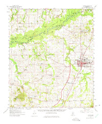
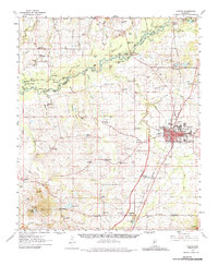
Canton serves as the focal point of this Madison County landscape, where the Illinois Central railroad bisects the town's grid near the County Fairground. The topography transitions from the developed center out toward the bottomlands of the Big Black River, which forms the western boundary. Along this river, the terrain is marked by distinctive oxbows and landforms like Beatties Bluff and Beech Ridge. In the southeast, blue hatching indicates areas planned to be submerged by the Pearl River Valley Reservoir, capturing the landscape just before significant hydrological change.
Find a feature on this map
117 named features on this map. Tap any name to fly to it.
Don’t see what you’re looking for? This feature index may not catch every label — zoom into the map to look around manually.
Map Details
Editions of this 1961 Canton Map
Other maps of this area

1903 · Jackson
USGS Topo · 1:125,000

1905 · Jackson
USGS Topo · 1:48,000

1908 · Jackson
USGS Topo · 1:62,500

1922 · Pelahatchee
USGS Topo · 1:48,000

1924 · Pelahatchee
USGS Topo · 1:62,500

1934 · Raymond
USGS Topo · 1:48,000

1937 · Raymond
USGS Topo · 1:62,500

1942 · Raymond
USGS Topo · 1:62,500

1950 · Pelahatchie
USGS Topo · 1:62,500

1952 · Pelahatchie
USGS Topo · 1:62,500