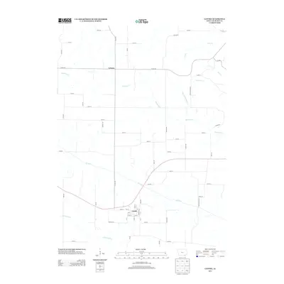
2013 Map of Cantril
USGS Topo · Published 2013About this map
Cantril serves as the primary hub for this section of Van Buren County, positioned at the intersection of Co HWY-v64 and Iowa Route 2. The landscape is defined by the winding course of the Fox River and its tributary, the Little Fox River, which together drain the southern portion of the quadrangle. Further north, the settlement of Lebanon marks a quiet crossroads where Co HWY-j40 meets the county highway.
Find a feature on this map
57 named features on this map. Tap any name to fly to it.
Don’t see what you’re looking for? This feature index may not catch every label — zoom into the map to look around manually.
Map Details
Editions of this 2013 Cantril Map
This is the sole edition of this map. No revisions or reprints were ever made.
Other maps of this area

1954 · Centerville
USGS Topo · 1:250,000

1957 · Centerville
USGS Topo · 1:250,000

1958 · Centerville
USGS Topo · 1:250,000

1958 · Burlington
USGS Topo · 1:250,000

1961 · Burlington
USGS Topo · 1:250,000

1963 · Burlington
USGS Topo · 1:250,000

1965 · Selma
USGS Topo · 1:24,000

1965 · Douds
USGS Topo · 1:24,000

1968 · Keosauqua
USGS Topo · 1:24,000
1968 · Mount Sterling
USGS Topo · 1:24,000