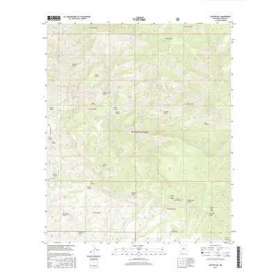
2017 Map of Canyon Hill
USGS Topo · Published 2017About this map
Gila National Forest encompasses this landscape of the Southwest, defined by the deep drainage systems of the Gila River and its numerous side canyons. The terrain transitions from the heights of the Pinos Altos Range down to significant landforms like Slick Rock Mesa and Canyon Hill. This 2017 survey details a remote area where water sources are vital landmarks, evidenced by named points such as The Dry Lakes, Cottonwood Spring, and Dog Spring.
Find a feature on this map
38 named features on this map. Tap any name to fly to it.
Don’t see what you’re looking for? This feature index may not catch every label — zoom into the map to look around manually.
Map Details
Editions of this 2017 Canyon Hill Map
This is the sole edition of this map. No revisions or reprints were ever made.
Other maps of this area

1909 · Silver City
USGS Topo · 1:125,000

1910 · Mogollon
USGS Topo · 1:125,000

1911 · Alum Mountain
USGS Topo · 1:125,000

1912 · Mogollon
USGS Topo · 1:125,000

1913 · Alum Mountain
USGS Topo · 1:125,000

1950 · Dorsey Ranch
USGS Topo · 1:24,000

1950 · Reading Mountain
USGS Topo · 1:24,000

1951 · Dorsey Ranch
USGS Topo · 1:24,000
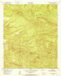
1952 · Reading Mountain
USGS Topo · 1:24,000

1954 · Silver City
USGS Topo · 1:250,000