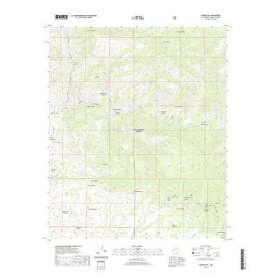
2020 Map of Canyon Hill
USGS Topo · Published 2020About this map
Gila River drainage systems define this portion of the Gila National Forest in southwestern New Mexico. The landscape is characterized by a dense network of canyons and ridges, including the prominent Canyon Hill and the northern reaches of the Pinos Altos Range. Resource-seeking and travel patterns are indicated by named water sources such as Dog Spring and Cottonwood Spring, which provided essential stops in an otherwise arid environment. Along the western edge, Turkey Creek Rd follows the course of Turkey Creek, providing one of the few established access routes through the complex topography. The map reveals the dramatic relief of the area, from the high points of Goose Lake Ridge down to the depths of Hells Canyon and Slick Rock Canyon, documenting a wilderness managed for both its natural value and its challenging geography.
Find a feature on this map
39 named features on this map. Tap any name to fly to it.
Don’t see what you’re looking for? This feature index may not catch every label — zoom into the map to look around manually.
Map Details
Editions of this 2020 Canyon Hill Map
This is the sole edition of this map. No revisions or reprints were ever made.
Other maps of this area
1909 · Silver City
USGS Topo · 1:125,000
1910 · Mogollon
USGS Topo · 1:125,000
1911 · Alum Mountain
USGS Topo · 1:125,000
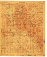
1912 · Mogollon
USGS Topo · 1:125,000
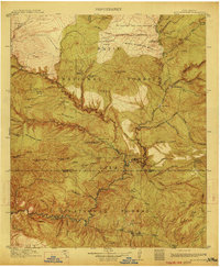
1913 · Alum Mountain
USGS Topo · 1:125,000
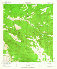
1950 · Dorsey Ranch
USGS Topo · 1:24,000
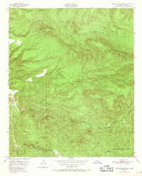
1950 · Reading Mountain
USGS Topo · 1:24,000
1951 · Dorsey Ranch
USGS Topo · 1:24,000
1952 · Reading Mountain
USGS Topo · 1:24,000

1954 · Silver City
USGS Topo · 1:250,000