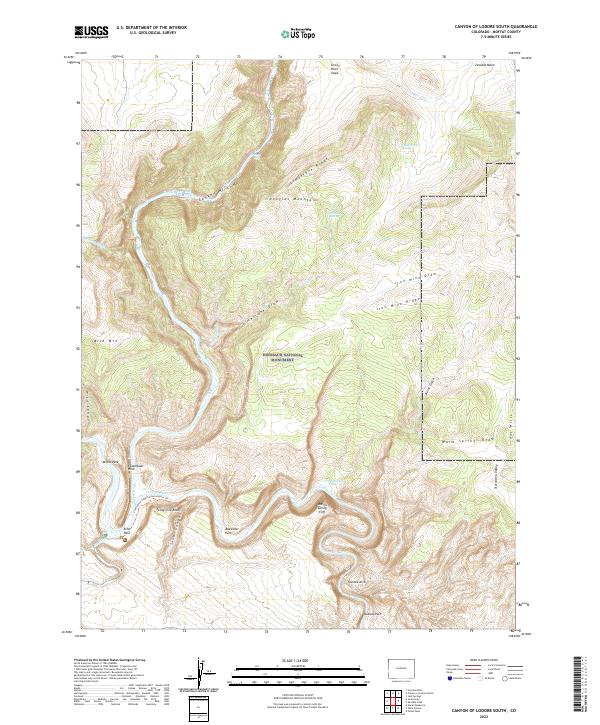
2022 Map of Canyon of Lodore South
USGS Topo · Published 2022About this map
Dinosaur National Monument contains some of the most dramatic river geography in the American West, centered on the confluence of the Green River and the Yampa River. This 2022 survey details the steep vertical relief of the Canyon of Lodore, where water has carved through ancient formations to create landmarks like Steamboat Rock and the Warms Spring Cliff. The map provides a high-resolution view of the area's intricate drainage systems, including Zenobia Cr, Burnt Gulch, and Sand Canyon.
Find a feature on this map
42 named features on this map. Tap any name to fly to it.
Don’t see what you’re looking for? This feature index may not catch every label — zoom into the map to look around manually.
Map Details
Editions of this 2022 Canyon of Lodore South Map
This is the sole edition of this map. No revisions or reprints were ever made.
Other maps of this area

1885 · Ashley
USGS Topo · 1:250,000

1907 · Rangely
USGS Topo · 1:125,000

1907 · Jensen
USGS Topo · 1:125,000

1910 · Jensen
USGS Topo · 1:125,000

1910 · Rangely
USGS Topo · 1:125,000

1954 · Hells Canyon
USGS Topo · 1:24,000

1954 · Canyon of Lodore South
USGS Topo · 1:24,000

1954 · Canyon of Lodore North
USGS Topo · 1:24,000

1954 · Vernal
USGS Topo · 1:250,000

1955 · Stuntz Reservoir
USGS Topo · 1:24,000