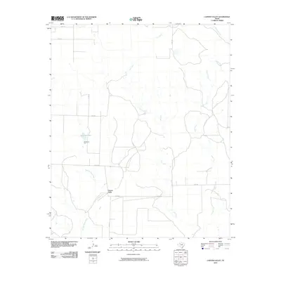
2010 Map of Canyon Valley
USGS Topo · Published 2010About this map
The Salt Fork Brazos River carves through this West Texas landscape, defining the topography south of the small settlement at Canyon Valley. The drainage network is dense for this semi-arid region, with Lake Creek and the aptly named Pigpen Creek feeding into the river system. To the west, the landscape is managed for water storage at Henderson Lake, held by the Henderson Dam. The map reveals a strict rectilinear grid of county roads, including Co RD 238 and Co RD 227, which overlay the natural meandering paths of Turkey Creek and McDonald Creek. This intersection of natural hydrology and human-imposed land divisions illustrates the agricultural and ranching organization of Crosby County in the early 21st century.
Find a feature on this map
14 named features on this map. Tap any name to fly to it.
Don’t see what you’re looking for? This feature index may not catch every label — zoom into the map to look around manually.
Map Details
Editions of this 2010 Canyon Valley Map
This is the sole edition of this map. No revisions or reprints were ever made.
Other maps of this area

1954 · Lubbock
USGS Topo · 1:250,000

1966 · Cap Rock
USGS Topo · 1:24,000

1966 · Kalgary
USGS Topo · 1:24,000

1966 · Collett Springs
USGS Topo · 1:24,000

1966 · Canyon Valley
USGS Topo · 1:24,000

1967 · Ralls SE
USGS Topo · 1:24,000

1967 · Savage
USGS Topo · 1:24,000

1968 · South Dokegood Creek
USGS Topo · 1:24,000

1969 · Verbena
USGS Topo · 1:24,000

1969 · Cap Rock SE
USGS Topo · 1:24,000