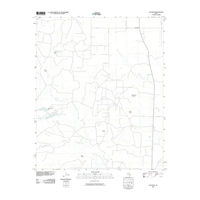
2010 Map of Cap Rock
USGS Topo · Published 2010About this map
Salt Fork Brazos River and the North Fork Double Mountain Fork Brazos River converge in this West Texas landscape, defining a region of dramatic breaks and drainage systems. The small community of Cap Rock sits at the northern edge of the sheet, while the lower elevations are marked by the industrial activity of the Forbes Oil Field. Local water management is visible through features like Caddell Dam and Janes-Prentice Dam, which create namesake reservoirs along the draws. The terrain transitions from flat agricultural or grazing land into the sharp topography of Courthouse Mountain and Indian Ridge, offering a clear view of the erosion patterns that characterize the edge of the Llano Estacado. This 2010 survey provides a modern layout of the county roads and ranch infrastructure connecting these landmarks.
Find a feature on this map
26 named features on this map. Tap any name to fly to it.
Don’t see what you’re looking for? This feature index may not catch every label — zoom into the map to look around manually.
Map Details
Editions of this 2010 Cap Rock Map
This is the sole edition of this map. No revisions or reprints were ever made.
Other maps of this area

1954 · Lubbock
USGS Topo · 1:250,000

1965 · Acuff
USGS Topo · 1:24,000

1965 · Southland
USGS Topo · 1:24,000

1965 · Slaton NE
USGS Topo · 1:24,000

1966 · Cap Rock
USGS Topo · 1:24,000

1966 · Canyon Valley
USGS Topo · 1:24,000

1967 · Ralls SE
USGS Topo · 1:24,000

1967 · Savage
USGS Topo · 1:24,000

1968 · South Dokegood Creek
USGS Topo · 1:24,000

1969 · Cap Rock SE
USGS Topo · 1:24,000