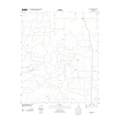
2012 Map of Cap Rock
USGS Topo · Published 2012About this map
Cap Rock stands as the defining escarpment in this portion of Crosby County, marking a sharp transition in the West Texas landscape. The drainage network is complex, characterized by the Salt Fork Brazos River and the N Fork Double Mountain Fork Brazos River, which carve through the terrain alongside numerous seasonal features like Turkey Draw and Plum Cr. Industrial activity is centered at the Forbes Oil Field, while smaller water bodies such as Caddell Lake and Janes- Prentice Lake provide isolated landmarks across the plains. Distinctive topographic rises like Courthouse Mtn and the long expanse of Indian Ridge overlook a network of county roads, illustrating the intersection of natural landforms and modern energy extraction in this sparsely populated region.
Find a feature on this map
26 named features on this map. Tap any name to fly to it.
Don’t see what you’re looking for? This feature index may not catch every label — zoom into the map to look around manually.
Map Details
Editions of this 2012 Cap Rock Map
This is the sole edition of this map. No revisions or reprints were ever made.
Other maps of this area

1954 · Lubbock
USGS Topo · 1:250,000

1965 · Acuff
USGS Topo · 1:24,000

1965 · Southland
USGS Topo · 1:24,000

1965 · Slaton NE
USGS Topo · 1:24,000

1966 · Cap Rock
USGS Topo · 1:24,000

1966 · Canyon Valley
USGS Topo · 1:24,000

1967 · Ralls SE
USGS Topo · 1:24,000

1967 · Savage
USGS Topo · 1:24,000

1968 · South Dokegood Creek
USGS Topo · 1:24,000

1969 · Cap Rock SE
USGS Topo · 1:24,000