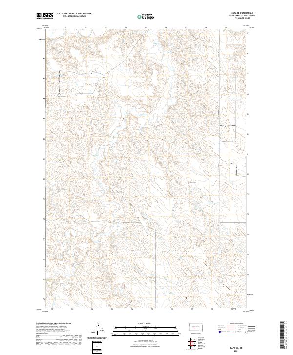
2021 Map of Capa SE
USGS Topo · Published 2021About this map
Bad River flows through the northern reaches of this Jones County landscape, defining the primary drainage for a region characterized by intricate coulees and draws. The terrain is marked by seasonal watercourses including Dry Cr and the prominent Ash Draw, which cut through the high plains topography. This 2021 survey illustrates the modern rural infrastructure of the area, centered around Vanmetre Rd as the primary north-south artery. The map provides a clear look at the Public Land Survey System divisions, specifically t2n r27e, t2n r28e, t1n r27e, and t1n r28e, which continue to dictate property lines and agricultural boundaries. The absence of dense settlements highlights the open, ranching-oriented character of this portion of South Dakota, where natural hydrology remains the most significant landmark.
Find a feature on this map
8 named features on this map. Tap any name to fly to it.
Don’t see what you’re looking for? This feature index may not catch every label — zoom into the map to look around manually.
Map Details
Editions of this 2021 Capa SE Map
This is the sole edition of this map. No revisions or reprints were ever made.
Other maps of this area

1951 · Capa
USGS Topo · 1:24,000

1951 · Van Metre
USGS Topo · 1:24,000

1951 · Capa NW
USGS Topo · 1:24,000

1951 · Capa SE
USGS Topo · 1:24,000

1953 · Wendte
USGS Topo · 1:24,000

1954 · Pierre
USGS Topo · 1:250,000

1955 · Martin
USGS Topo · 1:250,000

1958 · Pierre
USGS Topo · 1:250,000

1958 · Martin
USGS Topo · 1:250,000

1972 · Murdo
USGS Topo · 1:24,000