
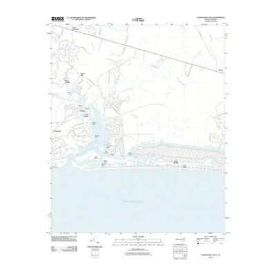
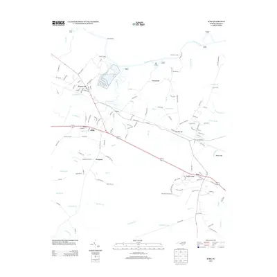
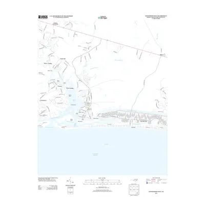
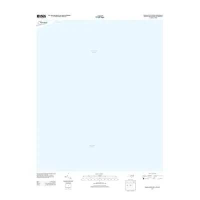
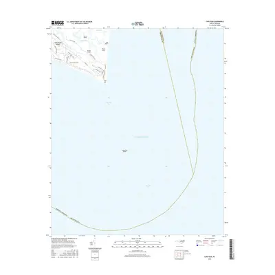
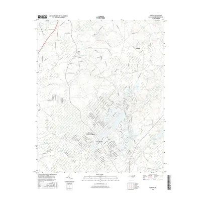
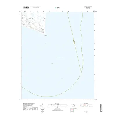
1990 Map of Cape Fear
USGS Topo · Published 1990About this map
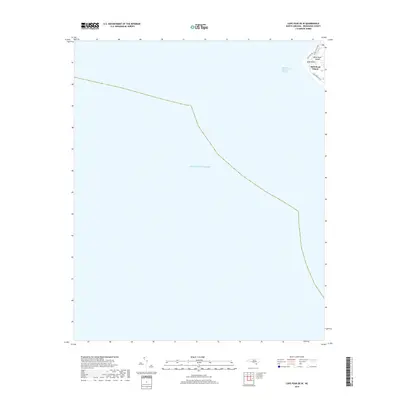
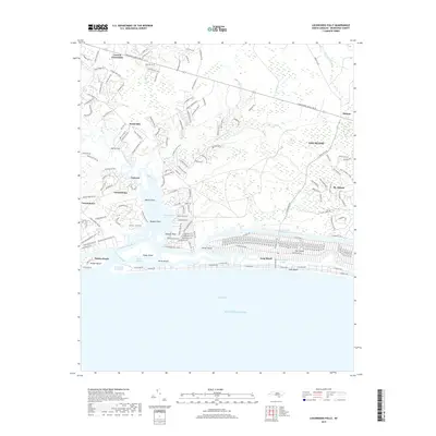
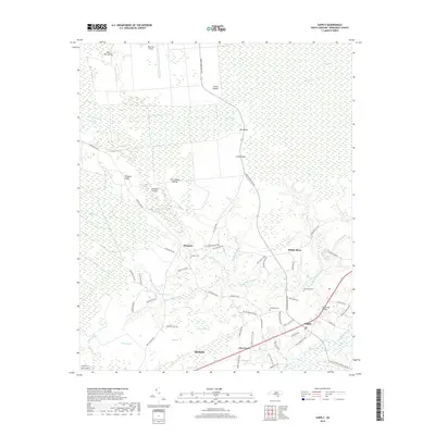
The confluence of the Cape Fear River and the Atlantic Ocean dominates this maritime survey, illustrating the complex geography of the North Carolina coast during the late 20th century. Notable military installations such as Military Ocean Terminal Sunny Point and the Fort Fisher Air Force Sta occupy strategic positions along the riverbank and shore. This 1990 edition captures the region's coastal morphology, from the artificial passage at Snows Cut to the natural protective barriers of Bald Head Island and Smith Island. The map provides a clear record of the intricate network of inlets and islands, including Zekes Island and Striking Island, which define the shipping channels and estuary environment. For those studying the transition of this landscape, the map details established settlements like Kure Beach alongside the undeveloped reaches of Buzzard Bay.
Find a feature on this map
22 named features on this map. Tap any name to fly to it.
Don’t see what you’re looking for? This feature index may not catch every label — zoom into the map to look around manually.
Map Details
Editions of this 1990 Cape Fear Map
This is the sole edition of this map. No revisions or reprints were ever made.
Historical Maps of Southport Through Time
96 maps found

1942 Cape Fear
Brunswick County, NC

1943 Exum
Brunswick County, NC

1943 Freeland
Brunswick County, NC

1943 Funston
Brunswick County, NC

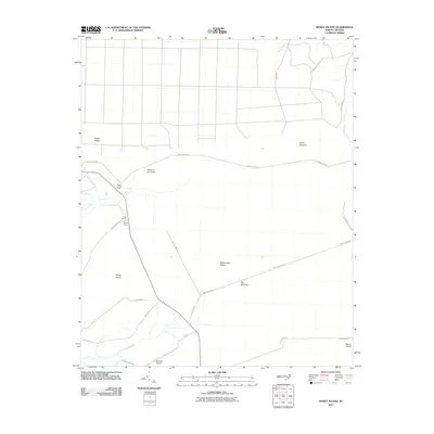
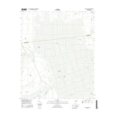
1943 Honey Island
Brunswick County, NC

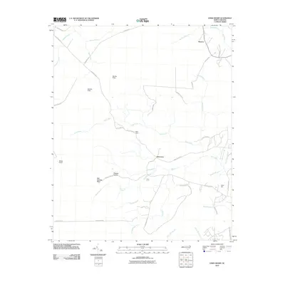
1943 Lewis Swamp
Brunswick County, NC

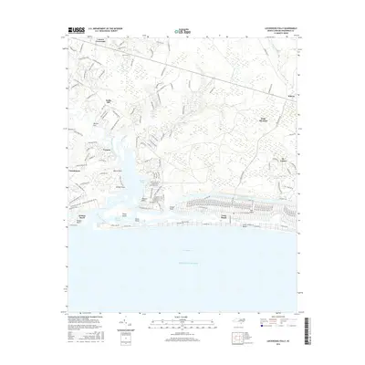
1943 Lockwoods Folly
Brunswick County, NC

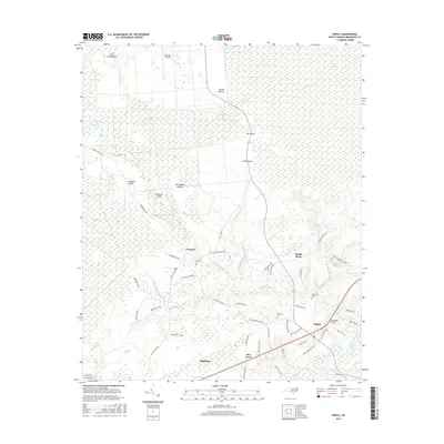
1943 Supply
Brunswick County, NC

1943 Winnabow
Brunswick County, NC

1944 Lewis Swamp
Brunswick County, NC

1944 Lockwoods Folly
Brunswick County, NC

1944 Supply
Brunswick County, NC

1944 Winnabow
Brunswick County, NC

1946 Snow Marsh
Brunswick County, NC

1950 Supply
Brunswick County, NC

1950 Winnabow
Brunswick County, NC

1970 Cape Fear
Brunswick County, NC

1980 Acme
Brunswick County, NC

1980 Cape Fear
Brunswick County, NC

1980 Funston
Brunswick County, NC

1980 Lewis Swamp
Brunswick County, NC

1980 Lockwoods Folly
Brunswick County, NC

1980 Winnabow
Brunswick County, NC

1984 Acme
Brunswick County, NC

1984 Cape Fear
Brunswick County, NC
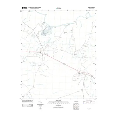
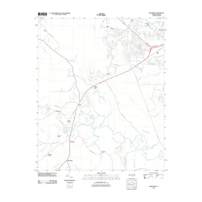
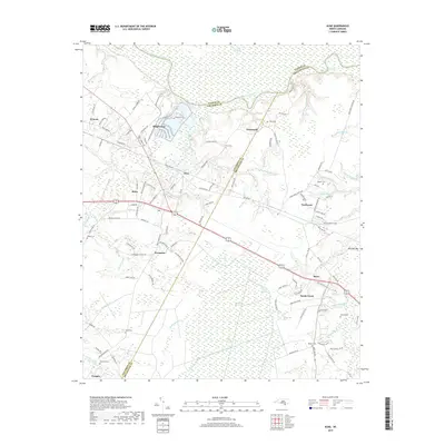
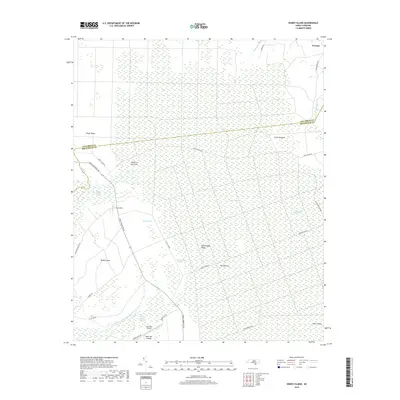
1990 Cape Fear
Brunswick County, NC

1990 Exum
Brunswick County, NC

1990 Freeland
Brunswick County, NC

1990 Funston
Brunswick County, NC

1990 Honey Island
Brunswick County, NC

1990 Lewis Swamp
Brunswick County, NC

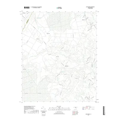
1990 Lockwoods Folly
Brunswick County, NC

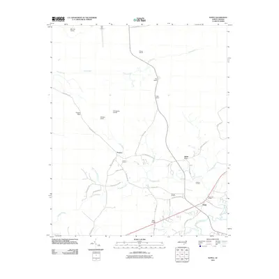
1990 Supply
Brunswick County, NC

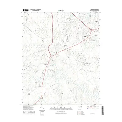
1990 Winnabow
Brunswick County, NC

1999 Cape Fear
Brunswick County, NC

2002 Exum
Brunswick County, NC
2010 Acme
Brunswick County, NC
2010 Cape Fear
Brunswick County, NC
2010 Exum
Brunswick County, NC
2010 Freeland
Brunswick County, NC
2010 Honey Island
Brunswick County, NC
2010 Lewis Swamp
Brunswick County, NC
2010 Lockwoods Folly
Brunswick County, NC
2010 Supply
Brunswick County, NC
2010 Winnabow
Brunswick County, NC
2011 Cape Fear OE W
Brunswick County, NC
2011 Funston
Brunswick County, NC
2011 Shallotte OE S
Brunswick County, NC
2013 Acme
Brunswick County, NC
2013 Cape Fear
Brunswick County, NC

2013 Cape Fear OE W
Brunswick County, NC
2013 Exum
Brunswick County, NC
2013 Freeland
Brunswick County, NC
2013 Funston
Brunswick County, NC
2013 Honey Island
Brunswick County, NC
2013 Lewis Swamp
Brunswick County, NC
2013 Lockwoods Folly
Brunswick County, NC
2013 Shallotte OE S
Brunswick County, NC
2013 Supply
Brunswick County, NC
2013 Winnabow
Brunswick County, NC
2016 Acme
Brunswick County, NC
2016 Cape Fear
Brunswick County, NC
2016 Cape Fear OE W
Brunswick County, NC
2016 Exum
Brunswick County, NC
2016 Freeland
Brunswick County, NC
2016 Funston
Brunswick County, NC
2016 Honey Island
Brunswick County, NC

2016 Lewis Swamp
Brunswick County, NC
2016 Lockwoods Folly
Brunswick County, NC
2016 Shallotte OE S
Brunswick County, NC
2016 Supply
Brunswick County, NC
2016 Winnabow
Brunswick County, NC
2019 Acme
Brunswick County, NC
2019 Cape Fear
Brunswick County, NC
2019 Cape Fear OE W
Brunswick County, NC
2019 Exum
Brunswick County, NC
2019 Freeland
Brunswick County, NC
2019 Funston
Brunswick County, NC
2019 Honey Island
Brunswick County, NC
2019 Lewis Swamp
Brunswick County, NC
2019 Lockwoods Folly
Brunswick County, NC
2019 Shallotte OE S
Brunswick County, NC
2019 Supply
Brunswick County, NC
2019 Winnabow
Brunswick County, NC

2022 Acme
Brunswick County, NC

2022 Cape Fear
Brunswick County, NC

2022 Cape Fear OE W
Brunswick County, NC

2022 Exum
Brunswick County, NC

2022 Freeland
Brunswick County, NC

2022 Funston
Brunswick County, NC

2022 Honey Island
Brunswick County, NC

2022 Lewis Swamp
Brunswick County, NC

2022 Lockwoods Folly
Brunswick County, NC

2022 Shallotte OE S
Brunswick County, NC

2022 Supply
Brunswick County, NC

2022 Winnabow
Brunswick County, NC