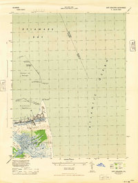
1944 Map of Cape Henlopen
USGS Topo · Published 1944About this map
Fort Miles Military Reservation dominates the strategic tip of the Delaware coast in this 1944 military edition survey. The landscape is defined by the heavy maritime defenses and industrial infrastructure required during the height of the war, including the Lewes CG Sta and a network of coastal lights. To the west, the maritime settlement of Lewes is shown with its connection to the Pennsylvania railroad and the Lewes and Rehoboth Canal.
Find a feature on this map
29 named features on this map. Tap any name to fly to it.
Don’t see what you’re looking for? This feature index may not catch every label — zoom into the map to look around manually.
Map Details
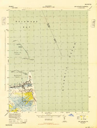
Editions of this 1944 Cape Henlopen Map
2 editions found
Other maps of this area

1888 · Cape May
USGS Topo · 1:62,500

1893 · Cape May
USGS Topo · 1:62,500

1898 · Cape May
USGS Topo · 1:62,500

1918 · Rehoboth
USGS Topo · 1:62,500

1918 · Cape Henlopen
USGS Topo · 1:62,500

1918 · Cape May
USGS Topo · 1:62,500

1925 · Cape May
USGS Topo · 1:62,500

1937 · Cape Henlopen
USGS Topo · 1:62,500

1938 · Rehoboth
USGS Topo · 1:62,500
1940 · Cape May
USGS Topo · 1:62,500