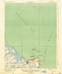
1944 Map of Cape Henlopen
USGS Topo · Published 1944About this map
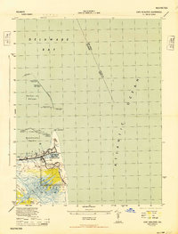
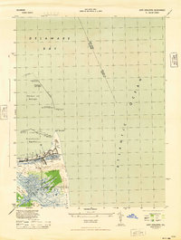
Fort Miles Military Reservation dominates this coastal landscape, reflecting the strategic defensive importance of the Delaware capes during World War II. Positioned at the mouth of the Delaware Bay, the area is characterized by shifting sand dunes and extensive flat sands that meet the Atlantic Ocean at Cape Henlopen. The settlement of Lewes serves as the inland anchor, connected to maritime trade and industry via the Lewes and Rehoboth Canal and the Pennsylvania rail line. Industrial activity is visible near the coast with Consolidated Fisheries and Fish Products Co operating along the harbor. Navigational history is densely layered here, from the massive Breakwater structures to the Harbor of Refuge Lighthouse and an Abandoned LH, illustrating the long-standing efforts to protect vessels entering the bay.
Find a feature on this map
32 named features on this map. Tap any name to fly to it.
Don’t see what you’re looking for? This feature index may not catch every label — zoom into the map to look around manually.
Map Details
Editions of this 1944 Cape Henlopen Map
2 editions found
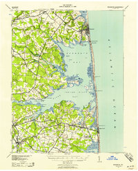
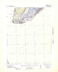
Other maps of this area

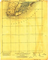
1888 · Cape May
USGS Topo · 1:62,500

1893 · Cape May
USGS Topo · 1:62,500

1898 · Cape May
USGS Topo · 1:62,500
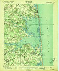
1918 · Rehoboth
USGS Topo · 1:62,500

1918 · Cape Henlopen
USGS Topo · 1:62,500

1918 · Cape May
USGS Topo · 1:62,500
1925 · Cape May
USGS Topo · 1:62,500
1937 · Cape Henlopen
USGS Topo · 1:62,500
1938 · Rehoboth
USGS Topo · 1:62,500
1940 · Cape May
USGS Topo · 1:62,500