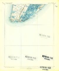
1893 Map of Cape May
USGS Topo · Published 1904About this map
Cape May Light stands at the tip of the peninsula in this late 19th-century study of the New Jersey coast. The landscape is defined by an intricate network of marshes and waterways like Jarvis Sound and Grassy Sound, protected from the Atlantic Ocean by barrier features such as Two Mile Beach and Poverty Beach. Inland, the geography reveals a transition from these tidal wetlands to the early developments of West Cape May and Bennett.
Find a feature on this map
38 named features on this map. Tap any name to fly to it.
Don’t see what you’re looking for? This feature index may not catch every label — zoom into the map to look around manually.
Map Details
Editions of this 1893 Cape May Map
4 editions found
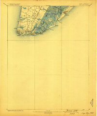
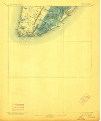
Other maps of this area

1884 · Sea Isle
USGS Topo · 1:62,500

1888 · Cape May
USGS Topo · 1:62,500

1888 · Dennisville
USGS Topo · 1:62,500

1888 · Sea Isle
USGS Topo · 1:62,500

1890 · Maurice Cove
USGS Topo · 1:62,500

1891 · Maurice Cove
USGS Topo · 1:62,500

1893 · Cape May
USGS Topo · 1:62,500

1894 · Dennisville
USGS Topo · 1:62,500

1894 · Sea Isle
USGS Topo · 1:62,500

1898 · Cape May
USGS Topo · 1:62,500