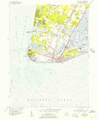
1954 Map of Cape May
USGS Topo · Published 1956About this map
Cape May and the surrounding southern tip of New Jersey are captured here just before the mid-century surge of coastal development. The landscape is defined by the recently completed Cape May Canal, which severed the peninsula and created the inland Intracoastal Waterway route. To the west, the quiet settlements of Town Bank and North Cape May front Delaware Bay, while the eastern shore is dominated by the sprawling U S Coast Guard Receiving Center and Sewell Point.
Find a feature on this map
84 named features on this map. Tap any name to fly to it.
Don’t see what you’re looking for? This feature index may not catch every label — zoom into the map to look around manually.
Map Details
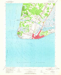
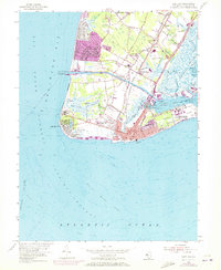
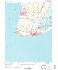
Editions of this 1954 Cape May Map
4 editions found
Other maps of this area

1888 · Cape May
USGS Topo · 1:62,500

1888 · Dennisville
USGS Topo · 1:62,500

1890 · Maurice Cove
USGS Topo · 1:62,500

1891 · Maurice Cove
USGS Topo · 1:62,500

1893 · Cape May
USGS Topo · 1:62,500

1894 · Dennisville
USGS Topo · 1:62,500

1898 · Cape May
USGS Topo · 1:62,500

1899 · Vineland
USGS Topo · 1:125,000

1918 · Cape Henlopen
USGS Topo · 1:62,500

1918 · Cape May
USGS Topo · 1:62,500