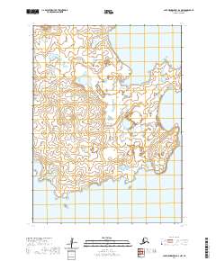
2020 Map of Cape Mendenhall D-2 NW
USGS Topo · Published 2020About this map
Nunivak Island dominates this coastal landscape in the Bering Sea, showing the intricate shoreline and interior wetlands as they appeared in 2020. Located within the Bethel Census Area, the map documents the eastern edges of the island, where the land meets the sea at prominent maritime landmarks such as Atahgo Point and Cape Corwin. The terrain is characterized by a high density of small lakes and ponds, typical of the subarctic tundra environment of western Alaska. Surveyed by the U.S. Geological Survey using imagery from 2010 and hydrography data spanning back to 1899, the map provides a precise record of the island's coastal morphology. The lack of roads or established settlements on this portion of the island emphasizes the wilderness character of the region, which is historically significant for its traditional land use by the Cup'ig people.
Find a feature on this map
8 named features on this map. Tap any name to fly to it.
Don’t see what you’re looking for? This feature index may not catch every label — zoom into the map to look around manually.
Map Details
Editions of this 2020 Cape Mendenhall D-2 NW Map
This is the sole edition of this map. No revisions or reprints were ever made.
Other maps of this area

1951 · Cape Mendenhall
USGS Topo · 1:250,000

1951 · Nunivak Island
USGS Topo · 1:250,000

1952 · Cape Mendenhall D-3
USGS Topo · 1:63,360

1952 · Cape Mendenhall
USGS Topo · 1:250,000
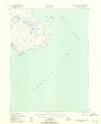
1952 · Cape Mendenhall D-2
USGS Topo · 1:63,360

1952 · Nunivak Island A-3
USGS Topo · 1:63,360
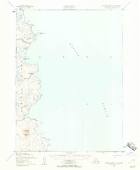
1952 · Nunivak Island A-2
USGS Topo · 1:63,360

1954 · Nunivak Island
USGS Topo · 1:250,000

1958 · Nunivak Island
USGS Topo · 1:250,000

1964 · Nunivak Island
USGS Topo · 1:250,000