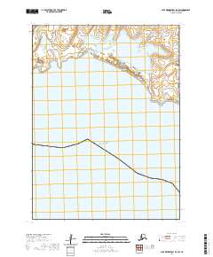
2020 Map of Cape Mendenhall D-4 SW
USGS Topo · Published 2020About this map
Bangookbit Dunes dominate the northern landscape of this coastal reach, representing a distinctive topographical transition along the western edge of Alaska. These sandy formations overlook the vast expanse of the Bering Sea, which occupies the majority of the southern portion of the quadrangle. The map reflects a modern survey of a sparsely settled region, where the primary organizational markers are the township and range lines, such as t3s r100w and t4s r99w. This layout emphasizes the remote nature of the shoreline, highlighting a landscape where natural coastal processes and elevation contours define the environment in the absence of developed infrastructure or permanent settlements.
Find a feature on this map
7 named features on this map. Tap any name to fly to it.
Don’t see what you’re looking for? This feature index may not catch every label — zoom into the map to look around manually.
Map Details
Editions of this 2020 Cape Mendenhall D-4 SW Map
This is the sole edition of this map. No revisions or reprints were ever made.
Other maps of this area

1951 · Cape Mendenhall
USGS Topo · 1:250,000

1952 · Cape Mendenhall D-4
USGS Topo · 1:63,360

1952 · Cape Mendenhall
USGS Topo · 1:250,000
1952 · Cape Mendenhall D-5
USGS Topo · 1:63,360
2020 · Cape Mendenhall D-5 NE
USGS Topo · 1:25,000
2020 · Cape Mendenhall D-5 SE
USGS Topo · 1:25,000
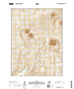
2020 · Cape Mendenhall D-4 NW
USGS Topo · 1:25,000
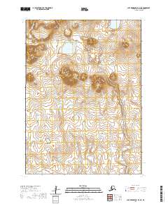
2020 · Cape Mendenhall D-4 NE
USGS Topo · 1:25,000
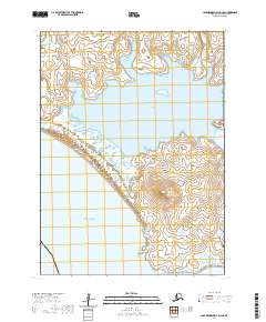
2020 · Cape Mendenhall D-4 SE
USGS Topo · 1:25,000