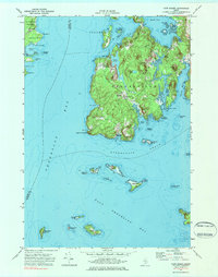
1973 Map of Cape Rosier
USGS Topo · Published 1984About this map
Penobscot Bay dominates this coastal survey, where the rugged topography of Brooksville meets the waters of Eggemoggin Reach. The landscape is defined by its many inlets and coves, such as Smith Cove and Horseshoe Cove, which historically supported the maritime and granite industries of Hancock County. Evidence of industrial activity remains at the Quarry near Harborside, while the interior elevations of Backwood Mtn and John B Mtn overlook a mix of saltwater marshes and freshwater features like Fresh Pond.
Find a feature on this map
76 named features on this map. Tap any name to fly to it.
Don’t see what you’re looking for? This feature index may not catch every label — zoom into the map to look around manually.
Map Details
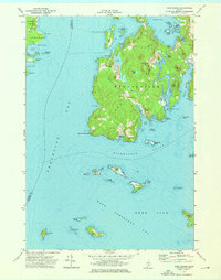
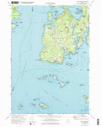
Editions of this 1973 Cape Rosier Map
3 editions found
Other maps of this area

1902 · Castine
USGS Topo · 1:62,500

1904 · Deer Isle
USGS Topo · 1:62,500

1904 · Castine
USGS Topo · 1:62,500

1904 · Bluehill
USGS Topo · 1:62,500

1904 · Vinalhaven
USGS Topo · 1:62,500

1905 · Penobscot Bay
USGS Topo · 1:125,000

1941 · Castine
USGS Topo · 1:62,500

1941 · Vinalhaven
USGS Topo · 1:62,500

1942 · Deer Isle
USGS Topo · 1:62,500
1943 · Castine
USGS Topo · 1:62,500