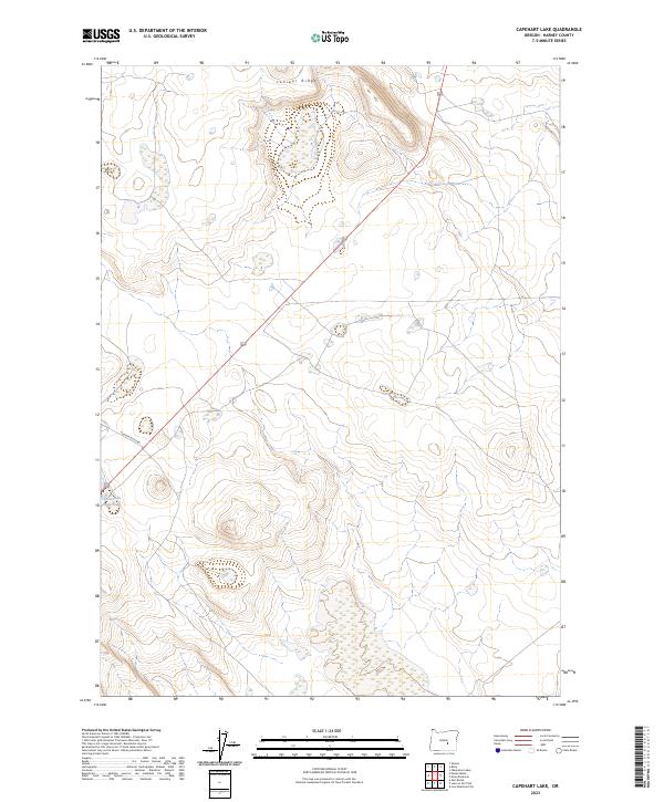
2023 Map of Capehart Lake
USGS Topo · Published 2023About this map
Juniper Ridge dominates the northern landscape of this Harney County terrain, where the high desert topography is defined by subtle elevation shifts and scattered vegetation. The map reveals a remote environment where water is a critical resource, evidenced by the presence of Yellowstone Waterhole in the southwestern quadrant. Access through this interior region of Oregon is largely facilitated by primitive routes like Placidia Butte Rd, which cuts across the basin and range landforms. This 2023 data from the U.S. Geological Survey and BLM illustrates the modern land management of the high desert, providing researchers and land historians with a precise record of current drainage patterns and the established township and range grid across these remote public lands.
Find a feature on this map
8 named features on this map. Tap any name to fly to it.
Don’t see what you’re looking for? This feature index may not catch every label — zoom into the map to look around manually.
Map Details
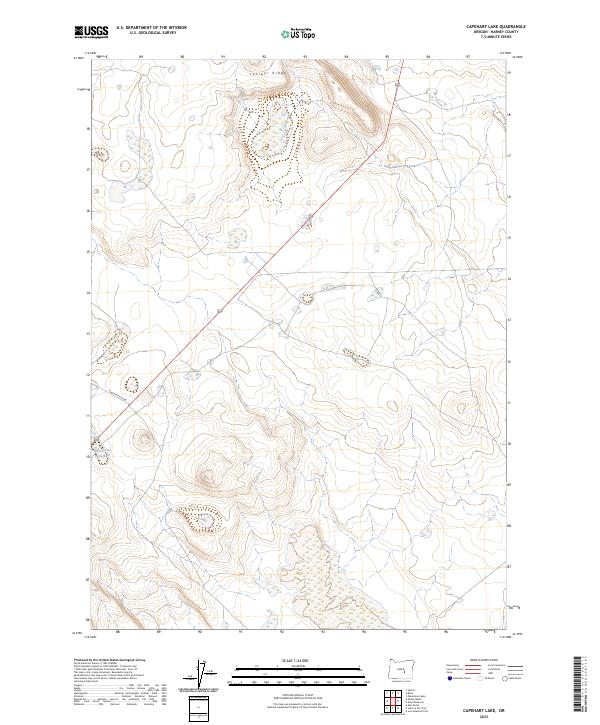
Editions of this 2023 Capehart Lake Map
2 editions found
Other maps of this area

1955 · Burns
USGS Topo · 1:250,000

1958 · Burns
USGS Topo · 1:250,000

1959 · Burns
USGS Topo · 1:250,000

1979 · Moon Reservoir
USGS Topo · 1:24,000

1980 · Capehart Lake
USGS Topo · 1:24,000

1980 · Squaw Butte
USGS Topo · 1:24,000

1980 · Iron Mtn. Flat
USGS Topo · 1:24,000

1980 · Alec Butte
USGS Topo · 1:24,000

1980 · Lake on The Trail
USGS Topo · 1:24,000
1981 · Oakerman Lakes
USGS Topo · 1:24,000