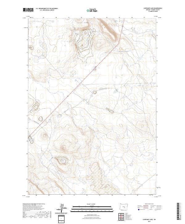
2023 Map of Capehart Lake
USGS Topo · Published 2023About this map
Juniper Ridge rises over the high desert landscape of central Harney County, providing a high-relief vantage point in this arid section of Oregon. The terrain is characterized by expansive sagebrush flats and intermittent wetlands, with Placidia Butte Rd serving as a primary corridor through the south-central portion of the quadrangle. A critical water source for local livestock and wildlife in this dry environment is the Yellowstone Waterhole, located near the intersection of several topographic drainage patterns. This modern topographic survey illustrates the intersection of several townships, including t24s r26e and t25s r26e, tracing the grid-based land management system that defines the ranching and public land usage in the region today.
Find a feature on this map
7 named features on this map. Tap any name to fly to it.
Don’t see what you’re looking for? This feature index may not catch every label — zoom into the map to look around manually.
Map Details
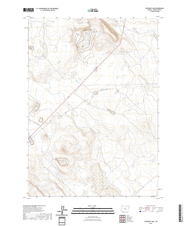
Editions of this 2023 Capehart Lake Map
2 editions found
Other maps of this area

1955 · Burns
USGS Topo · 1:250,000

1958 · Burns
USGS Topo · 1:250,000

1959 · Burns
USGS Topo · 1:250,000

1979 · Moon Reservoir
USGS Topo · 1:24,000

1980 · Capehart Lake
USGS Topo · 1:24,000

1980 · Squaw Butte
USGS Topo · 1:24,000

1980 · Iron Mtn. Flat
USGS Topo · 1:24,000

1980 · Alec Butte
USGS Topo · 1:24,000

1980 · Lake on The Trail
USGS Topo · 1:24,000
1981 · Oakerman Lakes
USGS Topo · 1:24,000