
1902 Map of Capistrano
USGS Topo · Published 1902About this map
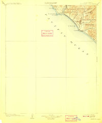
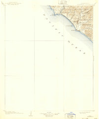
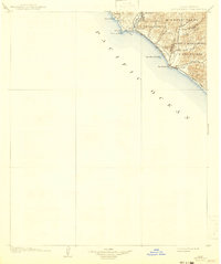
Mission Viejo and Boca De La Playa dominate this coastal landscape at the turn of the century, representing the expansive land grants that defined southern Orange County before modern suburban development. The settlement at Capistrano serves as the inland hub, connected to the coast by the Southern California railroad which skirts the bluffs near San Juan Capistrano Pt. and Dana Cove.
Find a feature on this map
30 named features on this map. Tap any name to fly to it.
Don’t see what you’re looking for? This feature index may not catch every label — zoom into the map to look around manually.
Map Details
Editions of this 1902 Capistrano Map
4 editions found
Other maps of this area

1893 · Oceanside
USGS Topo · 1:62,500

1896 · Santa Ana
USGS Topo · 1:62,500

1896 · Las Bolsas
USGS Topo · 1:62,500

1898 · Oceanside
USGS Topo · 1:62,500

1901 · Southern California Sheet No. 1
USGS Topo · 1:250,000

1901 · Santa Ana
USGS Topo · 1:62,500

1901 · Elsinore
USGS Topo · 1:125,000

1901 · Oceanside
USGS Topo · 1:62,500

1901 · San Luis Rey
USGS Topo · 1:125,000

1902 · Corona
USGS Topo · 1:125,000