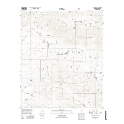
2013 Map of Capitan Pass
USGS Topo · Published 2013About this map
The Capitan Mountains dominate this high-desert terrain within the Lincoln National Forest, where a network of remote springs and stock tanks supports life in a rugged landscape of deep canyons. In the southern portion of the sheet, the Rio Bonito flows through the area known as Double Crossing, a name that suggests a key historic point for travelers navigating the watercourse. This era of land use is further defined by the presence of the Padilla Ranch and the G Bar F Ranch Airport, illustrating how aviation and ranching coexist in this isolated part of New Mexico.
Find a feature on this map
60 named features on this map. Tap any name to fly to it.
Don’t see what you’re looking for? This feature index may not catch every label — zoom into the map to look around manually.
Map Details
Editions of this 2013 Capitan Pass Map
This is the sole edition of this map. No revisions or reprints were ever made.
Other maps of this area

1934 · Capitan
USGS Topo · 1:48,000

1935 · Capitan Mountains
USGS Topo · 1:48,000

1937 · Capitan
USGS Topo · 1:62,500

1940 · Capitan Mountains
USGS Topo · 1:62,500

1955 · Roswell
USGS Topo · 1:250,000

1958 · Roswell
USGS Topo · 1:250,000

1961 · Lincoln
USGS Topo · 1:62,500

1962 · Roswell
USGS Topo · 1:250,000

1963 · Fort Stanton
USGS Topo · 1:24,000

1973 · Jacob Spring
USGS Topo · 1:24,000