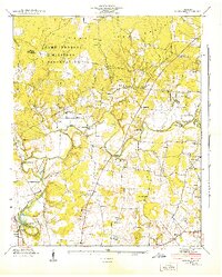
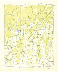
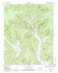
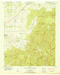
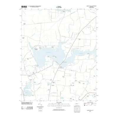
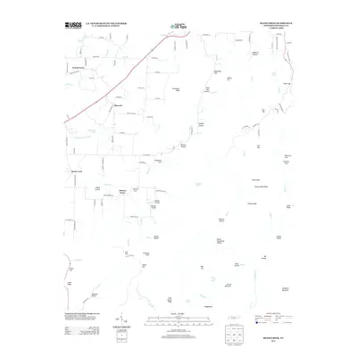
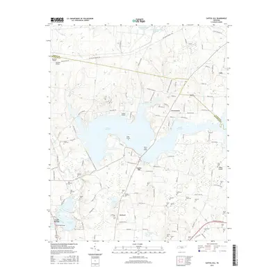
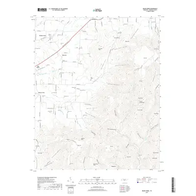
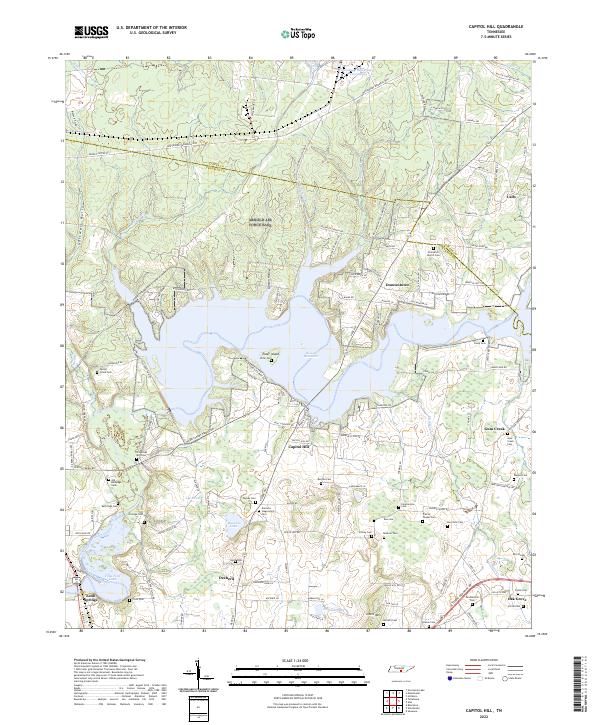
1941 Map of Capitol Hill
USGS Topo · Published 1944About this map
Camp Forrest Military Reservation dominates the northern landscape of this 1941 survey, reflecting the rapid military expansion in Tennessee during the early years of World War II. The terrain, known locally as The Barrens, is bisected by the winding Elk River, which serves as a central artery for the region's geography and infrastructure. Significant river crossings such as Morris Ferry Bridge, Leach Bridge, and Kemp Ford indicate the vital transport links connecting rural communities like Buncombe and Duncantown.
Find a feature on this map
40 named features on this map. Tap any name to fly to it.
Don’t see what you’re looking for? This feature index may not catch every label — zoom into the map to look around manually.
Map Details
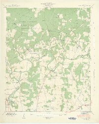
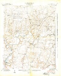
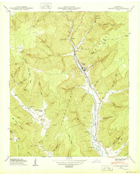
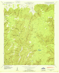
Editions of this 1941 Capitol Hill Map
3 editions found
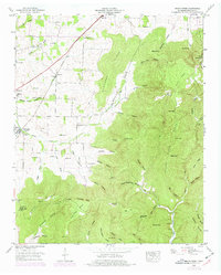
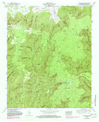
Historical Maps of Estill Springs Through Time
35 maps found
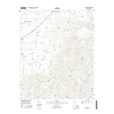
1936 Beans Creek
Franklin County, TN

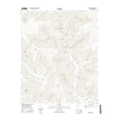
1936 Camp Peay
Franklin County, TN
1936 Capitol Hill
Franklin County, TN
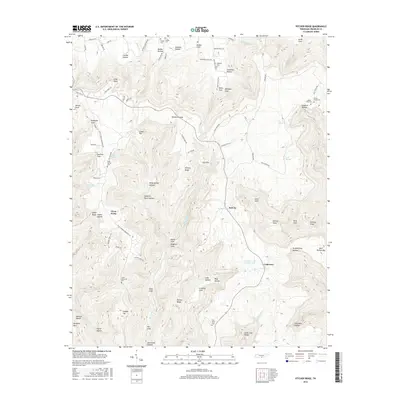
1936 Pitcher Ridge
Franklin County, TN
1936 Sinking Cove
Franklin County, TN
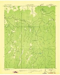
1941 Camp Forrest
Franklin County, TN
1941 Capitol Hill
Franklin County, TN
1947 Sinking Cove
Franklin County, TN
1948 Beans Creek
Franklin County, TN
1948 Pitcher Ridge
Franklin County, TN
1950 Sinking Cove
Franklin County, TN
1951 Beans Creek
Franklin County, TN
1951 Pitcher Ridge
Franklin County, TN
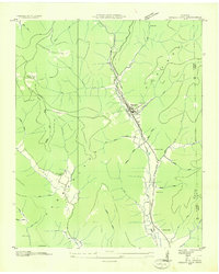
1962 Capitol Hill
Franklin County, TN
1972 Capitol Hill
Franklin County, TN
2010 Beans Creek
Franklin County, TN
2010 Capitol Hill
Franklin County, TN
2010 Pitcher Ridge
Franklin County, TN
2010 Sinking Cove
Franklin County, TN
2013 Beans Creek
Franklin County, TN
2013 Capitol Hill
Franklin County, TN
2013 Pitcher Ridge
Franklin County, TN
2013 Sinking Cove
Franklin County, TN
2016 Beans Creek
Franklin County, TN
2016 Capitol Hill
Franklin County, TN
2016 Pitcher Ridge
Franklin County, TN
2016 Sinking Cove
Franklin County, TN
2019 Beans Creek
Franklin County, TN
2019 Capitol Hill
Franklin County, TN
2019 Pitcher Ridge
Franklin County, TN
2019 Sinking Cove
Franklin County, TN
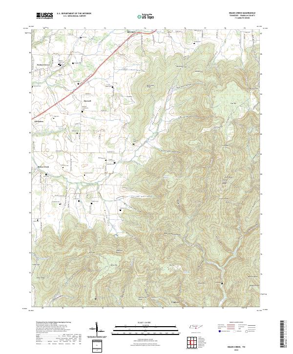
2022 Beans Creek
Franklin County, TN
2022 Capitol Hill
Franklin County, TN
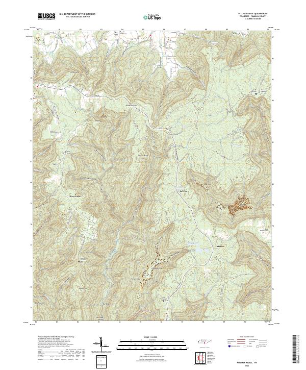
2022 Pitcher Ridge
Franklin County, TN

2022 Sinking Cove
Franklin County, TN