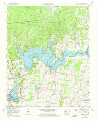
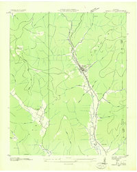
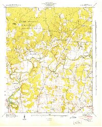
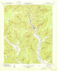
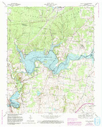
1972 Map of Capitol Hill
USGS Topo · Published 1973This historical map portrays the area of Capitol Hill in 1972, primarily covering Franklin County as well as portions of Coffee County. Featuring a scale of 1:24000, this map provides a highly detailed snapshot of the terrain, roads, buildings, counties, and historical landmarks in the Capitol Hill region at the time. Published in 1973, it is one of 4 known editions of this map due to revisions or reprints.
Find a feature on this map
75 named features on this map. Tap any name to fly to it.
Don’t see what you’re looking for? This feature index may not catch every label — zoom into the map to look around manually.
Map Details
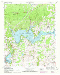
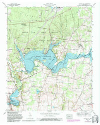
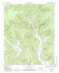
Editions of this 1972 Capitol Hill Map
4 editions found
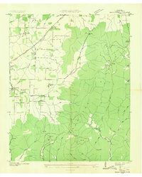
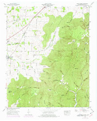
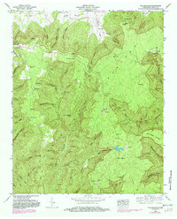
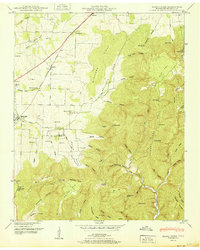
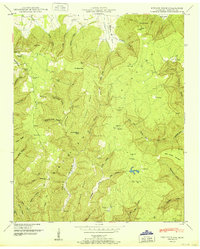
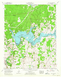
Historical Maps of Capitol Hill Through Time
15 maps found
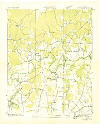
1936 Beans Creek
Franklin County, TN

1936 Camp Peay
Franklin County, TN
1936 Capitol Hill
Franklin County, TN
1936 Pitcher Ridge
Franklin County, TN
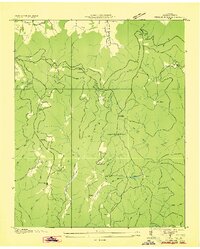
1936 Sinking Cove
Franklin County, TN
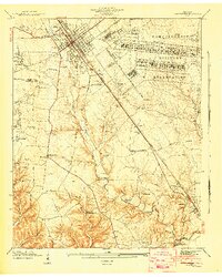
1941 Camp Forrest
Franklin County, TN
1941 Capitol Hill
Franklin County, TN
1947 Sinking Cove
Franklin County, TN
1948 Beans Creek
Franklin County, TN
1948 Pitcher Ridge
Franklin County, TN
1950 Sinking Cove
Franklin County, TN
1951 Beans Creek
Franklin County, TN
1951 Pitcher Ridge
Franklin County, TN
1962 Capitol Hill
Franklin County, TN
1972 Capitol Hill
Franklin County, TN