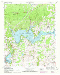
1972 Map of Capitol Hill
USGS Topo · Published 1982About this map
Arnold Air Force Station dominates the northern landscape of this region, which was surveyed as the modern reservoir system was reshaping the central Tennessee basin. The expansive Woods Reservoir is the centerpiece of the local geography, surrounded by recreational camps such as Camp Tannassie and Camp Arrowhead (BSA). South of the reservoir, the terrain transitions into a dense network of family-named cemeteries and rural institutions that hint at the area's agricultural past before the flooding of the Elk River valley. Notable sites for genealogy include Beth Page Cem, Featherston Cem, and the Elk River Ch. The Louisville and Nashville railroad passes through Estill Springs in the southwest corner, connecting the community to the broader industrial corridor of the late twentieth century. This map captures the intersection of military infrastructure and the emerging water-management landscape of Tims Ford Lake.
Find a feature on this map
63 named features on this map. Tap any name to fly to it.
Don’t see what you’re looking for? This feature index may not catch every label — zoom into the map to look around manually.
Map Details
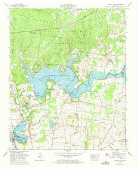
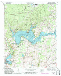
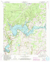
Editions of this 1972 Capitol Hill Map
4 editions found
Other maps of this area

1895 · Sewanee
USGS Topo · 1:125,000

1928 · Decherd
USGS Topo · 1:62,500

1936 · Ovoca
USGS Topo · 1:24,000

1936 · Sewanee
USGS Topo · 1:24,000

1936 · Alto
USGS Topo · 1:24,000

1936 · Manchester
USGS Topo · 1:24,000

1936 · Winchester
USGS Topo · 1:24,000

1936 · Hillsboro
USGS Topo · 1:24,000

1936 · Belvidere
USGS Topo · 1:24,000

1936 · Camp Peay
USGS Topo · 1:24,000