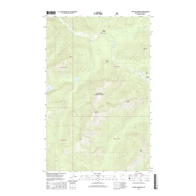
2017 Map of Capitol Mountain
USGS Topo · Published 2017About this map
The Middle Fork Flathead River carves through this high-altitude landscape within the Flathead National Forest, where the convergence of Brushshack Cr and Morrison Cr forms the landmark known as Three Forks. This mountain terrain is defined by prominent peaks including Capitol Mtn, Wildrose Mtn, and the descriptive Soakem Mtn. Remote backcountry infrastructure is evident at Schafer Meadows, where the Schafer USFS Airport provides a critical landing strip for forest management and wilderness access. Trails and seasonal waterways like Bradley Cr and Schufer Cr spider across the ridges, supported by structures like the Three Forks Pack Bridge. Smaller alpine water bodies, such as Scott Lake and Flotilla Lake, are tucked into the drainages below Helmet Point and Dean Ridge, illustrating the complex hydrology of this roadless area.
Find a feature on this map
36 named features on this map. Tap any name to fly to it.
Don’t see what you’re looking for? This feature index may not catch every label — zoom into the map to look around manually.
Map Details
Editions of this 2017 Capitol Mountain Map
This is the sole edition of this map. No revisions or reprints were ever made.
Other maps of this area

1913 · Marias Pass
USGS Topo · 1:125,000

1936 · Silvertip
USGS Topo · 1:96,000

1942 · Silvertip
USGS Topo · 1:125,000

1955 · Choteau
USGS Topo · 1:250,000

1957 · Choteau
USGS Topo · 1:250,000

1958 · Choteau
USGS Topo · 1:250,000

1958 · Red Plume Mountain
USGS Topo · 1:24,000

1958 · Gable Peaks
USGS Topo · 1:24,000

1958 · Capitol Mountain
USGS Topo · 1:24,000

1958 · Crescent Cliff
USGS Topo · 1:24,000