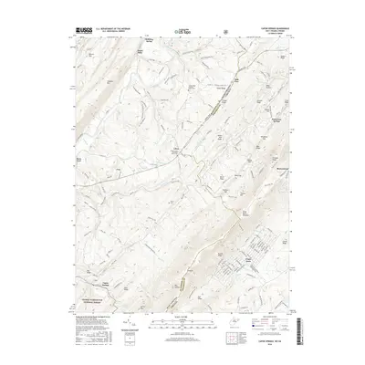
2016 Map of Capon Springs
USGS Topo · Published 2016About this map
The Cacapon River and the ridgelines of Cacapon Mtn define this section of the West Virginia and Virginia borderlands. Local history is anchored by early settlements and religious centers such as Hooks Mills and Lehew, where the Shiloh United Methodist Church Cem serves as a genealogical waypoint. The terrain is marked by a series of significant gaps and ridges, including Sawlog Gap and Wingfield Gap, which historically dictated travel through the Great North Mountain range. Modern residential development is visible at Shawneeland and Wilde Acres, contrasting with the protected woodlands of the George Washington National Forest. Notable water features like Bubbling Spring and the resort-adjacent Capon Springs reflect the region's long-standing connection to its mineral waters. The map also traces the winding path of Carpers Pike as it crosses from Hampshire County into Frederick County, passing through High View.
Find a feature on this map
165 named features on this map. Tap any name to fly to it.
Don’t see what you’re looking for? This feature index may not catch every label — zoom into the map to look around manually.
Map Details
Editions of this 2016 Capon Springs Map
This is the sole edition of this map. No revisions or reprints were ever made.
Other maps of this area

1891 · Romney
USGS Topo · 1:125,000

1894 · Winchester
USGS Topo · 1:125,000

1916 · Capon Bridge
USGS Topo · 1:62,500

1921 · Hanging Rock
USGS Topo · 1:48,000

1922 · Wardensville
USGS Topo · 1:62,500

1923 · Middletown
USGS Topo · 1:62,500

1923 · Capon Bridge
USGS Topo · 1:62,500

1923 · Hanging Rock
USGS Topo · 1:62,500

1924 · Wardensville
USGS Topo · 1:62,500

1937 · Capon Bridge
USGS Topo · 1:48,000