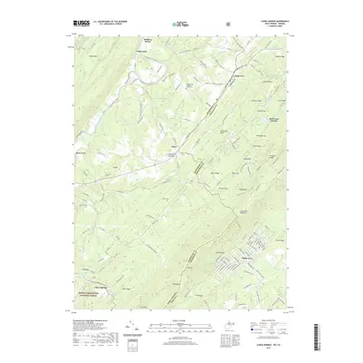
2019 Map of Capon Springs
USGS Topo · Published 2019About this map
Great North Mountain dominates the eastern ridge of this survey, marking the jagged boundary where Hampshire County, West Virginia, meets Frederick County, Virginia. The area's legacy as a nineteenth-century resort destination is evident at Capon Springs and Rock Enon Springs, where geological breaks in the ridge allowed for the development of historic mineral spring sites. These secluded settlements are tucked into the valleys of Back Creek and the Cacapon River, accessible via historic routes like Carpers Pike.
Find a feature on this map
162 named features on this map. Tap any name to fly to it.
Don’t see what you’re looking for? This feature index may not catch every label — zoom into the map to look around manually.
Map Details
Editions of this 2019 Capon Springs Map
This is the sole edition of this map. No revisions or reprints were ever made.
Other maps of this area

1891 · Romney
USGS Topo · 1:125,000

1894 · Winchester
USGS Topo · 1:125,000

1916 · Capon Bridge
USGS Topo · 1:62,500

1921 · Hanging Rock
USGS Topo · 1:48,000

1922 · Wardensville
USGS Topo · 1:62,500

1923 · Middletown
USGS Topo · 1:62,500

1923 · Capon Bridge
USGS Topo · 1:62,500

1923 · Hanging Rock
USGS Topo · 1:62,500

1924 · Wardensville
USGS Topo · 1:62,500

1937 · Capon Bridge
USGS Topo · 1:48,000