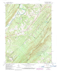
1965 Map of Capon Springs
USGS Topo · Published 1987About this map
Cacapon River winds through the valley between Dillons Mountain and Timber Ridge, defining a landscape of small settlements and seasonal camps on the West Virginia and Virginia border. The historic resort area of Capon Springs sits at the base of Great North Mountain, featuring a Golf Course and a specialized Landing Strip carved into the valley floor. The map records a network of rural life through family-named landmarks like Hooks Mills and Lehew, alongside several country churches including Shiloh Ch and Christian Ch.
Find a feature on this map
73 named features on this map. Tap any name to fly to it.
Don’t see what you’re looking for? This feature index may not catch every label — zoom into the map to look around manually.
Map Details
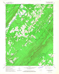
Editions of this 1965 Capon Springs Map
2 editions found
Other maps of this area

1891 · Romney
USGS Topo · 1:125,000

1894 · Winchester
USGS Topo · 1:125,000

1916 · Capon Bridge
USGS Topo · 1:62,500

1921 · Hanging Rock
USGS Topo · 1:48,000

1922 · Wardensville
USGS Topo · 1:62,500

1923 · Middletown
USGS Topo · 1:62,500

1923 · Capon Bridge
USGS Topo · 1:62,500

1923 · Hanging Rock
USGS Topo · 1:62,500

1924 · Wardensville
USGS Topo · 1:62,500

1937 · Capon Bridge
USGS Topo · 1:48,000