
1974 Map of Capps Switch NW
USGS Topo · Published 1977About this map
The High Plains landscape of Sherman County is defined here by an extensive energy infrastructure network as it existed in the mid-1970s. The northern reaches are carved by the drainage of Coldwater Creek, while the surrounding terrain is densely dotted with numerous extraction points, including the Oil Well and Gas Well sites that fueled the local economy. This grid-like development is connected by a complex system of Pipelines and service roads, punctuated by industrial landmarks such as the Pumping Sta.
Find a feature on this map
12 named features on this map. Tap any name to fly to it.
Don’t see what you’re looking for? This feature index may not catch every label — zoom into the map to look around manually.
Map Details
Editions of this 1974 Capps Switch NW Map
This is the sole edition of this map. No revisions or reprints were ever made.
Other maps of this area

1954 · Perryton
USGS Topo · 1:250,000

1958 · Perryton
USGS Topo · 1:250,000

1972 · Capps Switch
USGS Topo · 1:24,000

1972 · Sunray
USGS Topo · 1:24,000
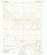
1974 · Capps Switch SE
USGS Topo · 1:24,000

1974 · Stevens SE
USGS Topo · 1:24,000

1974 · Sunray 1 SW
USGS Topo · 1:24,000

1974 · Sunray 1 SE
USGS Topo · 1:24,000
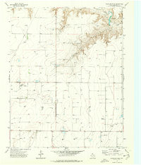
1974 · Pleasure Pond
USGS Topo · 1:24,000

1974 · Hannas Draw West
USGS Topo · 1:24,000