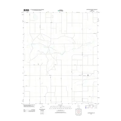
2012 Map of Capps Switch
USGS Topo · Published 2012About this map
Capps Switch is the primary namesake of this Moore County landscape, situated at a junction of rural routes in the Texas Panhandle. The terrain is defined by the winding course of N Palo Duro Cr, which cuts an irregular path across a grid of section lines and county roads. This network of thoroughfares, including Co Road Bb, Co Road Ee, and E Road A, reflects the organized agricultural development of the region. The map highlights key transportation arteries such as Ranch Road 1060 and Fm-281, which connect the scattered homesteads and farming operations to the wider county. Local history interest is centered around Cemetery Rd, a specific landmark often sought by genealogists and those tracing the early settlement patterns of this northern Texas plains environment.
Find a feature on this map
17 named features on this map. Tap any name to fly to it.
Don’t see what you’re looking for? This feature index may not catch every label — zoom into the map to look around manually.
Map Details
Editions of this 2012 Capps Switch Map
This is the sole edition of this map. No revisions or reprints were ever made.
Other maps of this area
1954 · Perryton
USGS Topo · 1:250,000
1954 · Amarillo
USGS Topo · 1:250,000
1958 · Perryton
USGS Topo · 1:250,000
1958 · Amarillo
USGS Topo · 1:250,000
1972 · Dumas NE
USGS Topo · 1:24,000
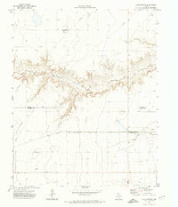
1972 · Capps Switch
USGS Topo · 1:24,000
1972 · Sunray
USGS Topo · 1:24,000
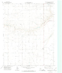
1972 · Pollard Creek NW
USGS Topo · 1:24,000
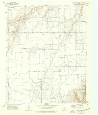
1974 · Pollard Creek NE
USGS Topo · 1:24,000
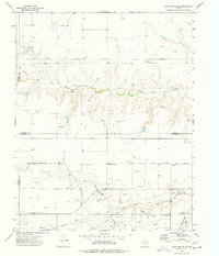
1974 · Capps Switch SE
USGS Topo · 1:24,000