
1972 Map of Capps Switch
USGS Topo · Published 1974About this map
The Sherman Co Moore Co line divides this High Plains landscape, where the flat agricultural terrain is sharply interrupted by the deep, winding incisions of North Palo Duro Creek. The 1972 topography illustrates a region defined by energy extraction and transport, dominated by an extensive Oil and Gas Field networked with numerous Pipelines. At the heart of the southern half, the Chicago Rock Island and Pacific railroad runs east-to-west, serving the small rural hub at Capps Switch. While the uplands are dotted with a high density of wells and several gas wells, the creek bed provides a distinct geological break, offering sites for Gravel Pits and providing the only significant natural relief in an otherwise industrial and agrarian expanse.
Find a feature on this map
13 named features on this map. Tap any name to fly to it.
Don’t see what you’re looking for? This feature index may not catch every label — zoom into the map to look around manually.
Map Details
Editions of this 1972 Capps Switch Map
This is the sole edition of this map. No revisions or reprints were ever made.
Other maps of this area

1954 · Perryton
USGS Topo · 1:250,000

1954 · Amarillo
USGS Topo · 1:250,000

1958 · Perryton
USGS Topo · 1:250,000

1958 · Amarillo
USGS Topo · 1:250,000

1972 · Dumas NE
USGS Topo · 1:24,000

1972 · Sunray
USGS Topo · 1:24,000
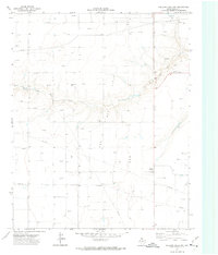
1972 · Pollard Creek NW
USGS Topo · 1:24,000
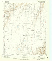
1974 · Pollard Creek NE
USGS Topo · 1:24,000
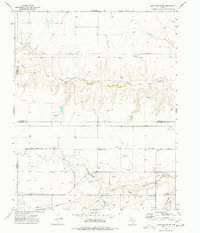
1974 · Capps Switch SE
USGS Topo · 1:24,000

1974 · Capps Switch NW
USGS Topo · 1:24,000