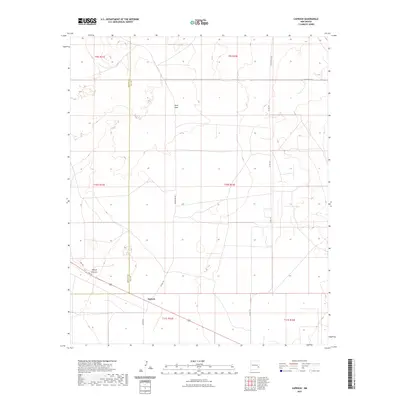
2023 Map of Caprock
USGS Topo · Published 2023About this map
Caprock and Sand Gate anchor this high plains landscape along the border of Chaves and Lea Counties in New Mexico. The area is defined by its transition from the plateau down into Polecat Canyon, with a network of rural routes such as Hedgecoke Rd and Button Mesa Rd providing access across the grid. The survey reflects a sparsely populated ranching or agricultural environment where infrastructure is concentrated along Hwy 380, which cuts through the southwest corner. Local movement relies on a series of numbered and named county roads, including Co Rd 160 and Mcguffin Rd, while the underlying Public Land Survey System sections establish the primary spatial organization of the terrain.
Find a feature on this map
18 named features on this map. Tap any name to fly to it.
Don’t see what you’re looking for? This feature index may not catch every label — zoom into the map to look around manually.
Map Details
Editions of this 2023 Caprock Map
This is the sole edition of this map. No revisions or reprints were ever made.
Other maps of this area

1954 · Brownfield
USGS Topo · 1:250,000

1958 · Brownfield
USGS Topo · 1:250,000

1962 · Brownfield
USGS Topo · 1:250,000

1973 · Mescalero Point
USGS Topo · 1:24,000

1973 · Soldier Hill
USGS Topo · 1:24,000

1973 · Caprock
USGS Topo · 1:24,000

1973 · Mescalero Point NE
USGS Topo · 1:24,000
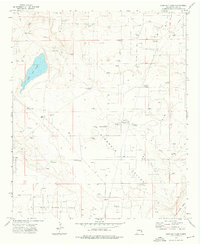
1973 · Lane Salt Lake
USGS Topo · 1:24,000
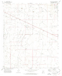
1973 · Dallas Store
USGS Topo · 1:24,000

1978 · Flying M Ranch
USGS Topo · 1:24,000