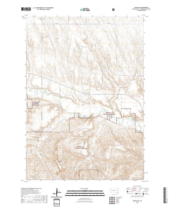
2021 Map of Caputa NE
USGS Topo · Published 2021About this map
Buffalo Gap National Grassland dominates the southern landscape of this Pennington County region, where the high plains transition into a complex system of seasonal drainages. The topography is defined by the winding course of Rapid Creek as it flows eastward across the center of the sheet, flanked by prominent landforms such as the Railroad Buttes to the southwest. This area reflects a sparse but structured rural network, where long-established section lines and county roads like Underwood South Rd and Farmingdale Folsom Rd provide the primary access through the open range. Deep erosional features including Lindsey Draw and Elkhorn Draw cut through the grassland, illustrating the natural drainage patterns that have shaped land use and ranching boundaries in this part of South Dakota.
Find a feature on this map
21 named features on this map. Tap any name to fly to it.
Don’t see what you’re looking for? This feature index may not catch every label — zoom into the map to look around manually.
Map Details
Editions of this 2021 Caputa NE Map
This is the sole edition of this map. No revisions or reprints were ever made.
Other maps of this area

1953 · New Underwood
USGS Topo · 1:24,000

1953 · New Underwood SW
USGS Topo · 1:24,000

1953 · Caputa
USGS Topo · 1:24,000

1953 · Folsom
USGS Topo · 1:24,000

1953 · Caputa NE
USGS Topo · 1:24,000

1953 · Rapid City
USGS Topo · 1:250,000

1953 · Caputa SW
USGS Topo · 1:24,000

1954 · Creston
USGS Topo · 1:24,000

1954 · Scenic SW
USGS Topo · 1:24,000

1955 · Hot Springs
USGS Topo · 1:250,000