
1966 Map of Carbon
USGS Topo · Published 1969About this map
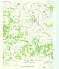
The town of Carbon serves as a central hub for this late-1960s study of Eastland County, where the transition from a traditional rail-dependent economy to an energy-producing landscape is clearly visible. Traces of the Old Railroad Grade cut across the terrain, reflecting the area's older transportation networks, while the presence of the Leon Powerplant and Lake Olden in the northeast indicates the industrial development of the mid-20th century. Numerous Oil Wells and a Claypit are scattered throughout the region, highlighting the importance of natural resource extraction to the local economy during this era.
Find a feature on this map
26 named features on this map. Tap any name to fly to it.
Don’t see what you’re looking for? This feature index may not catch every label — zoom into the map to look around manually.
Map Details
Editions of this 1966 Carbon Map
This is the sole edition of this map. No revisions or reprints were ever made.
Other maps of this area

1894 · Eastland
USGS Topo · 1:125,000

1954 · Abilene
USGS Topo · 1:250,000

1958 · Abilene
USGS Topo · 1:250,000

1966 · Cisco North
USGS Topo · 1:24,000

1966 · Kokomo
USGS Topo · 1:24,000

1966 · Eastland
USGS Topo · 1:24,000

1966 · Cisco South
USGS Topo · 1:24,000

1966 · Ranger
USGS Topo · 1:24,000
1968 · Gorman
USGS Topo · 1:24,000
1969 · Union Center
USGS Topo · 1:24,000