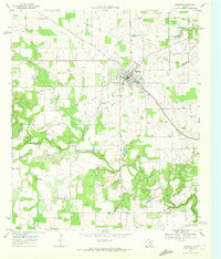
1968 Map of Gorman
USGS Topo · Published 1972About this map
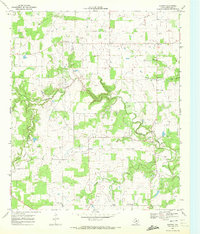
Gorman serves as the focal point of this late 1960s survey, straddling the Eastland and Comanche County line. The landscape is defined by the winding course of the Sabana River and its tributaries, including Currycomb Creek and Shinook Branch. While the Texas Central route remains prominent, the presence of an old railroad grade near the northern boundary suggests an earlier era of rail transport that had already begun to recede by the time of this mapping.
Find a feature on this map
24 named features on this map. Tap any name to fly to it.
Don’t see what you’re looking for? This feature index may not catch every label — zoom into the map to look around manually.
Map Details
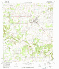
Editions of this 1968 Gorman Map
2 editions found
Other maps of this area

1894 · Eastland
USGS Topo · 1:125,000

1954 · Abilene
USGS Topo · 1:250,000

1958 · Abilene
USGS Topo · 1:250,000

1966 · Sipe Springs
USGS Topo · 1:24,000

1966 · Kokomo
USGS Topo · 1:24,000
1966 · Desdemona
USGS Topo · 1:24,000

1966 · Carbon
USGS Topo · 1:24,000
1968 · Rucker
USGS Topo · 1:24,000
1969 · Duster
USGS Topo · 1:24,000
1969 · Hunting Shirt Creek
USGS Topo · 1:24,000