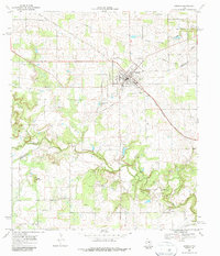
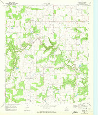
1968 Map of Gorman
USGS Topo · Published 1987About this map
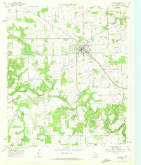
Gorman serves as the primary hub for this 1968 landscape, positioned near the boundary of Eastland Co and Comanche Co. The town's infrastructure includes a Radio Tower, the Gorman Airport, and a network of roads following the path of the Texas Central rail line. To the northwest and southeast, the remnants of former transportation routes are visible as segments of Old RR Grade, suggesting a shift in the local transit and shipping economy during the mid-20th century.
Find a feature on this map
26 named features on this map. Tap any name to fly to it.
Don’t see what you’re looking for? This feature index may not catch every label — zoom into the map to look around manually.
Map Details
Editions of this 1968 Gorman Map
2 editions found
Other maps of this area

1894 · Eastland
USGS Topo · 1:125,000

1954 · Abilene
USGS Topo · 1:250,000

1958 · Abilene
USGS Topo · 1:250,000

1966 · Sipe Springs
USGS Topo · 1:24,000

1966 · Kokomo
USGS Topo · 1:24,000
1966 · Desdemona
USGS Topo · 1:24,000

1966 · Carbon
USGS Topo · 1:24,000
1968 · Rucker
USGS Topo · 1:24,000
1968 · Gorman
USGS Topo · 1:24,000
1969 · Duster
USGS Topo · 1:24,000