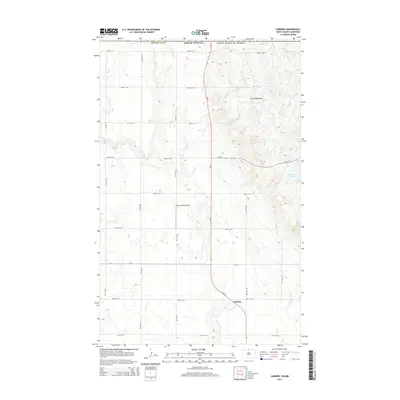
2014 Map of Carbury
USGS Topo · Published 2014About this map
Carbury sits near the base of the Turtle Mountains in this modern survey of northern Bottineau County. The landscape is defined by the transition from the flat prairie to the undulating, lake-dotted terrain of the hills. A complex network of sectional roads, including 101st St NE and 109th St NE, overlays the glacial topography, illustrating the persistent grid-based land management of the region. Transportation and local infrastructure are represented by Nd-14, which serves as a primary north-south artery, and the Sjule Private Airstrip. Hydrological features like Strawberry Lake and the winding course of Stone Cr highlight the drainage patterns of this borderland area, while the international boundary with Canada marks the northernmost edge of the sheet.
Find a feature on this map
19 named features on this map. Tap any name to fly to it.
Don’t see what you’re looking for? This feature index may not catch every label — zoom into the map to look around manually.
Map Details
Editions of this 2014 Carbury Map
This is the sole edition of this map. No revisions or reprints were ever made.
Other maps of this area

1954 · Souris SW
USGS Topo · 1:24,000

1954 · Souris
USGS Topo · 1:24,000

1954 · Souris SE
USGS Topo · 1:24,000

1954 · Minot
USGS Topo · 1:250,000

1955 · Bottineau
USGS Topo · 1:24,000

1956 · Carbury
USGS Topo · 1:24,000

1956 · Lake McArthur
USGS Topo · 1:24,000

1958 · Minot
USGS Topo · 1:250,000

1980 · Bottineau
USGS Topo · 1:100,000
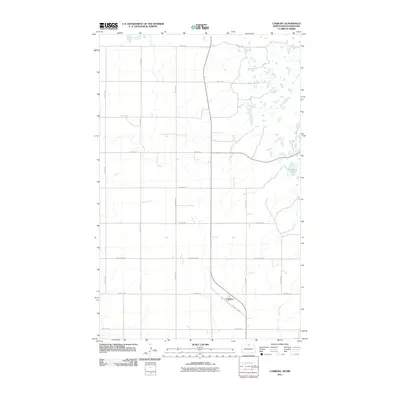
2011 · Carbury
USGS Topo · 1:24,000