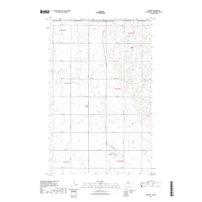
2017 Map of Carbury
USGS Topo · Published 2017About this map
Carbury sits at the southern edge of this landscape where the prairie meets the rising elevation of the Turtle Mountains. This borderlands region, situated directly against the United States of America/Canada boundary, exhibits a complex network of wetlands and small water bodies characteristic of the local geography. The map reveals a transition from the structured grid of rural roads like 109th St NE and Co Rd 6 NE to the more irregular terrain of the upland areas. Aviation and local transport are represented by the Sjule Private Airstrip and the path of Old State Hwy 14. Natural features such as Strawberry Lake and the headwaters of Stone Cr illustrate the drainage patterns of the Bottineau County countryside during this era of modern land management.
Find a feature on this map
24 named features on this map. Tap any name to fly to it.
Don’t see what you’re looking for? This feature index may not catch every label — zoom into the map to look around manually.
Map Details
Editions of this 2017 Carbury Map
This is the sole edition of this map. No revisions or reprints were ever made.
Other maps of this area

1954 · Souris SW
USGS Topo · 1:24,000

1954 · Souris
USGS Topo · 1:24,000

1954 · Souris SE
USGS Topo · 1:24,000

1954 · Minot
USGS Topo · 1:250,000

1955 · Bottineau
USGS Topo · 1:24,000

1956 · Carbury
USGS Topo · 1:24,000

1956 · Lake McArthur
USGS Topo · 1:24,000

1958 · Minot
USGS Topo · 1:250,000

1980 · Bottineau
USGS Topo · 1:100,000
2011 · Carbury
USGS Topo · 1:24,000