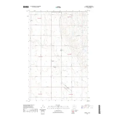
2020 Map of Carbury
USGS Topo · Published 2020About this map
The Turtle Mountains dominate the northeastern landscape of this Bottineau County quadrangle, where the rolling high ground meets the agricultural plains of North Dakota near the international border. The small community of Carbury is situated along Old State Hwy 14, serving as a central point for the surrounding rural section lines. Genealogists will find significant value in the distribution of several religious landmarks across the townships, including the Swedish Lutheran Cem, the Emmanuel Lutheran Brethren Cem, and the Turtle Mountain Lutheran Cem. These sites reflect the Scandinavian heritage of the settlers who established these homesteads. Drainage in the southeast is defined by the winding course of Stone Cr, while the Sjule Private Airstrip indicates the importance of private aviation in managing these expansive prairie lands.
Find a feature on this map
27 named features on this map. Tap any name to fly to it.
Don’t see what you’re looking for? This feature index may not catch every label — zoom into the map to look around manually.
Map Details
Editions of this 2020 Carbury Map
This is the sole edition of this map. No revisions or reprints were ever made.
Other maps of this area

1954 · Souris SW
USGS Topo · 1:24,000

1954 · Souris
USGS Topo · 1:24,000

1954 · Souris SE
USGS Topo · 1:24,000

1954 · Minot
USGS Topo · 1:250,000

1955 · Bottineau
USGS Topo · 1:24,000

1956 · Carbury
USGS Topo · 1:24,000

1956 · Lake McArthur
USGS Topo · 1:24,000

1958 · Minot
USGS Topo · 1:250,000

1980 · Bottineau
USGS Topo · 1:100,000
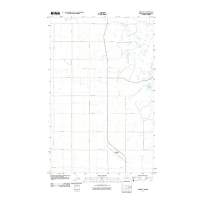
2011 · Carbury
USGS Topo · 1:24,000