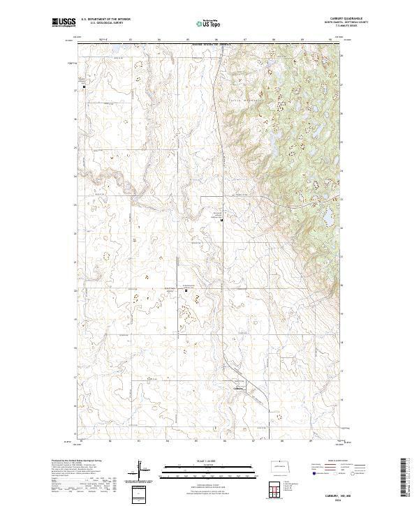
2024 Map of Carbury
USGS Topo · Published 2024About this map
Turtle Mountains rise across the northeastern corner of this landscape, marking a distinct elevation change from the surrounding plains along the international boundary with Canada. The settlement of Carbury sits near the intersection of Old State Hwy 14 and 8th Ave NE, serving as a focal point for the surrounding rural agricultural region. The map reveals a deeply rooted community structure, evidenced by the placement of several local cemeteries including the Swedish Lutheran Cem, Emmanuel Lutheran Brethren Cem, and the Turtle Mountain Lutheran Cem. Drainage for the area is defined by Stone Creek, which meanders through the southeast. A network of section roads provides access to isolated landmarks such as the Sjule Private Airstrip, reflecting the dispersed nature of settlement in this part of North Dakota.
Find a feature on this map
30 named features on this map. Tap any name to fly to it.
Don’t see what you’re looking for? This feature index may not catch every label — zoom into the map to look around manually.
Map Details
Editions of this 2024 Carbury Map
This is the sole edition of this map. No revisions or reprints were ever made.
Other maps of this area

1954 · Souris SW
USGS Topo · 1:24,000

1954 · Souris
USGS Topo · 1:24,000

1954 · Souris SE
USGS Topo · 1:24,000

1954 · Minot
USGS Topo · 1:250,000

1955 · Bottineau
USGS Topo · 1:24,000

1956 · Carbury
USGS Topo · 1:24,000

1956 · Lake McArthur
USGS Topo · 1:24,000

1958 · Minot
USGS Topo · 1:250,000

1980 · Bottineau
USGS Topo · 1:100,000
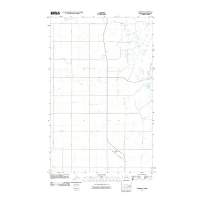
2011 · Carbury
USGS Topo · 1:24,000