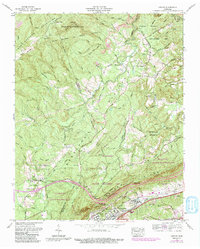
1968 Map of Cardiff
USGS Topo · Published 1991About this map
Crab Orchard Mountains and the Cumberland Plateau converge in this mid-century look at eastern Tennessee, where the industrial footprint of strip mines meets the rising conservation efforts of the Catoosa Wildlife Management Area. The landscape is defined by its ridge-and-valley structure, with Mt Roosevelt Ridge providing a dramatic backdrop for the growing settlement of Rockwood.
Find a feature on this map
72 named features on this map. Tap any name to fly to it.
Don’t see what you’re looking for? This feature index may not catch every label — zoom into the map to look around manually.
Map Details
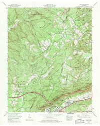
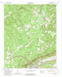
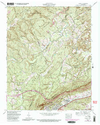
Editions of this 1968 Cardiff Map
4 editions found
Other maps of this area

1887 · Kingston
USGS Topo · 1:125,000

1891 · Kingston
USGS Topo · 1:125,000

1893 · Kingston
USGS Topo · 1:125,000

1895 · Wartburg
USGS Topo · 1:125,000

1896 · Wartburg
USGS Topo · 1:125,000

1935 · Rockwood
USGS Topo · 1:24,000

1935 · Camp Austin
USGS Topo · 1:24,000

1935 · Harriman
USGS Topo · 1:24,000

1935 · Lancing
USGS Topo · 1:24,000

1936 · Hebbertsburg
USGS Topo · 1:24,000