
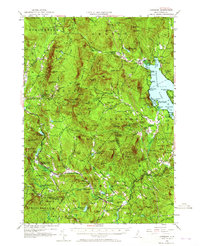
1956 Map of Cardigan
USGS Topo · Published 1958About this map
Mt Cardigan dominates the high-country terrain of this mid-century survey, surrounded by the granite peaks and mountain ponds of Orange and Alexandria. The landscape reflects a legacy of extraction and seasonal retreat, featuring the Alexandria Mica Mine and the Garnet Mine alongside numerous summer camps such as Camp Pasquaney and Groton School Camp on the shores of Newfound Lake. These recreational sites at Hebron Bay and Pasquaney Bay contrast with the older agrarian and industrial nodes found in the valleys.
Find a feature on this map
172 named features on this map. Tap any name to fly to it.
Don’t see what you’re looking for? This feature index may not catch every label — zoom into the map to look around manually.
Map Details
Editions of this 1956 Cardigan Map
3 editions found
Other maps of this area

1902 · Sunapee
USGS Topo · 1:62,500

1905 · Sunapee
USGS Topo · 1:62,500

1907 · Sunapee
USGS Topo · 1:62,500

1925 · Holderness
USGS Topo · 1:62,500

1927 · Penacook
USGS Topo · 1:62,500

1927 · Holderness
USGS Topo · 1:62,500

1927 · Cardigan
USGS Topo · 1:62,500

1927 · Mascoma
USGS Topo · 1:62,500

1928 · Mount Kearsarge
USGS Topo · 1:62,500

1928 · Plymouth
USGS Topo · 1:62,500