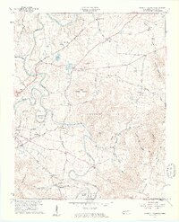
1957 Map of Cardwell Mountain
USGS Topo · Published 1961About this map
Cardwell Mountain serves as the geographic anchor for this mid-century survey of Warren County, where the Collins River carves intricate loops like Higgenbottom Bend and Turners Bend through the limestone landscape. The map captures a transition from the river lowlands to the elevated plateaus of Harrison Ferry Mountain and Ben Lomond Mountain. This era of documentation highlights the famous Cumberland Caverns and the Nashville and Chattanooga Railroad corridor, which served northern settlements like Rowland Station. Cultural sites are well-documented, including the County Farm and numerous rural centers like Shellsford and Bethlehem. The presence of the Gaging Sta on the Barren Fork and multiple quarries indicate an economy tied to both the water resources and the local geology.
Find a feature on this map
55 named features on this map. Tap any name to fly to it.
Don’t see what you’re looking for? This feature index may not catch every label — zoom into the map to look around manually.
Map Details
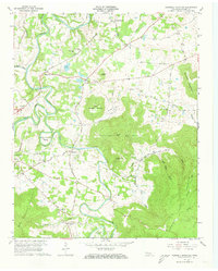
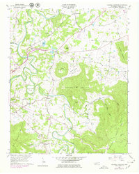
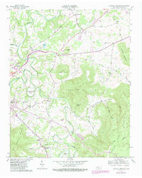
Editions of this 1957 Cardwell Mountain Map
5 editions found
Other maps of this area

1893 · Mc Minnville
USGS Topo · 1:125,000

1895 · Mc Minnville
USGS Topo · 1:125,000

1942 · Statesville
USGS Topo · 1:100,000

1943 · Cookeville
USGS Topo · 1:100,000

1943 · Mc Minnville
USGS Topo · 1:100,000

1944 · Cookeville
USGS Topo · 1:100,000

1953 · Chattanooga
USGS Topo · 1:250,000

1953 · Mc Minnville
USGS Topo · 1:24,000
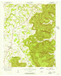
1955 · Viola
USGS Topo · 1:24,000
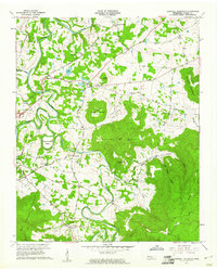
1957 · Cardwell Mountain
USGS Topo · 1:24,000