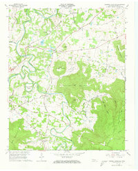
1957 Map of Cardwell Mountain
USGS Topo · Published 1973About this map
The Collins River carves a winding path through this Tennessee landscape, creating dramatic features like Higgenbottom Bend and Turners Bend. The area is defined by the massive footprint of Cardwell Mountain, which hosts the notable Cumberland Caverns on its western slopes. Smaller summits such as Grassy Mtn and Almond Mountain flank the valley floor, where agriculture and early transportation routes converged.
Find a feature on this map
47 named features on this map. Tap any name to fly to it.
Don’t see what you’re looking for? This feature index may not catch every label — zoom into the map to look around manually.
Map Details
Editions of this 1957 Cardwell Mountain Map
5 editions found
Other maps of this area

1893 · Mc Minnville
USGS Topo · 1:125,000

1895 · Mc Minnville
USGS Topo · 1:125,000

1942 · Statesville
USGS Topo · 1:100,000

1943 · Cookeville
USGS Topo · 1:100,000

1943 · Mc Minnville
USGS Topo · 1:100,000

1944 · Cookeville
USGS Topo · 1:100,000

1953 · Chattanooga
USGS Topo · 1:250,000

1953 · Mc Minnville
USGS Topo · 1:24,000
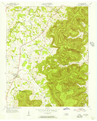
1955 · Viola
USGS Topo · 1:24,000
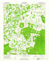
1957 · Cardwell Mountain
USGS Topo · 1:24,000