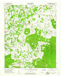
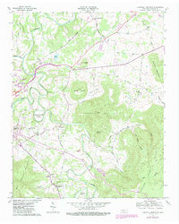
1957 Map of Cardwell Mountain
USGS Topo · Published 1961About this map
The Collins River meanders sharply through this mid-century landscape, creating dramatic geographical features like Higgenbottom Bend and Turners Bend. The area is anchored by the massive bulk of Cardwell Mountain, home to the Cumberland Caverns, a notable subterranean landmark south of Shellsford. This 1950s survey documents a rural society deeply rooted in local institutions, evidenced by a high density of community centers such as Mt Vernon Ch, Bethlehem Ch, and Pleasant Hill Sch. Transportation is defined by historic routes including the Nashville and Louisville Road and the proximity of Rowland Station. The map captures a transition point near the growing community of Mount Leo, while preserving details of smaller settlements like Smyrna and Fairview. Local genealogists will find value in the precise locations of the Higgenbottom Cem and the County Farm along the Barren Fork.
Find a feature on this map
49 named features on this map. Tap any name to fly to it.
Don’t see what you’re looking for? This feature index may not catch every label — zoom into the map to look around manually.
Map Details
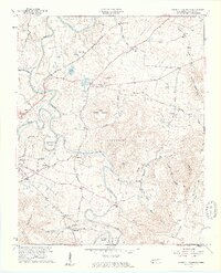
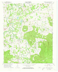
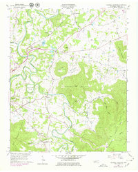
Editions of this 1957 Cardwell Mountain Map
5 editions found
Other maps of this area

1893 · Mc Minnville
USGS Topo · 1:125,000

1895 · Mc Minnville
USGS Topo · 1:125,000

1942 · Statesville
USGS Topo · 1:100,000

1943 · Cookeville
USGS Topo · 1:100,000

1943 · Mc Minnville
USGS Topo · 1:100,000

1944 · Cookeville
USGS Topo · 1:100,000

1953 · Chattanooga
USGS Topo · 1:250,000

1953 · Mc Minnville
USGS Topo · 1:24,000
1955 · Viola
USGS Topo · 1:24,000

1957 · Chattanooga
USGS Topo · 1:250,000