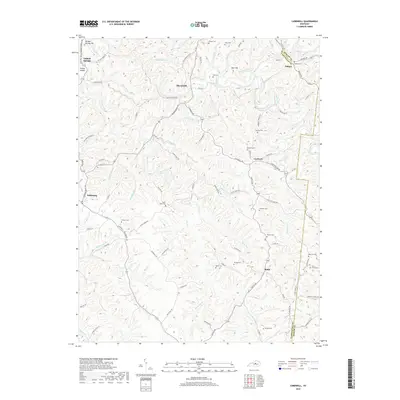
2019 Map of Cardwell
USGS Topo · Published 2019About this map
The Chaplin River winds through the northern reaches of this territory, defining a landscape of deeply incised creek valleys and family-named ridges along the border of Washington and Mercer Counties. The settlement of Tatham Springs sits below the prominent Tatham Springs Hill near the river, while other small rural centers like Sharpsville, Cardwell, and Battle are connected by a network of ridge-top roads such as Royalty Ridge Rd and Tatum Ridge Rd.
Find a feature on this map
98 named features on this map. Tap any name to fly to it.
Don’t see what you’re looking for? This feature index may not catch every label — zoom into the map to look around manually.
Map Details
Editions of this 2019 Cardwell Map
This is the sole edition of this map. No revisions or reprints were ever made.
Other maps of this area

1905 · Harrodsburg
USGS Topo · 1:125,000

1952 · Perryville
USGS Topo · 1:24,000

1952 · Cornishville
USGS Topo · 1:24,000

1952 · Ashbrook
USGS Topo · 1:24,000

1952 · Chaplin
USGS Topo · 1:24,000

1952 · Mc Brayer
USGS Topo · 1:24,000

1953 · Mackville
USGS Topo · 1:24,000

1953 · Brush Grove
USGS Topo · 1:24,000

1953 · Cardwell
USGS Topo · 1:24,000

1953 · Springfield
USGS Topo · 1:24,000