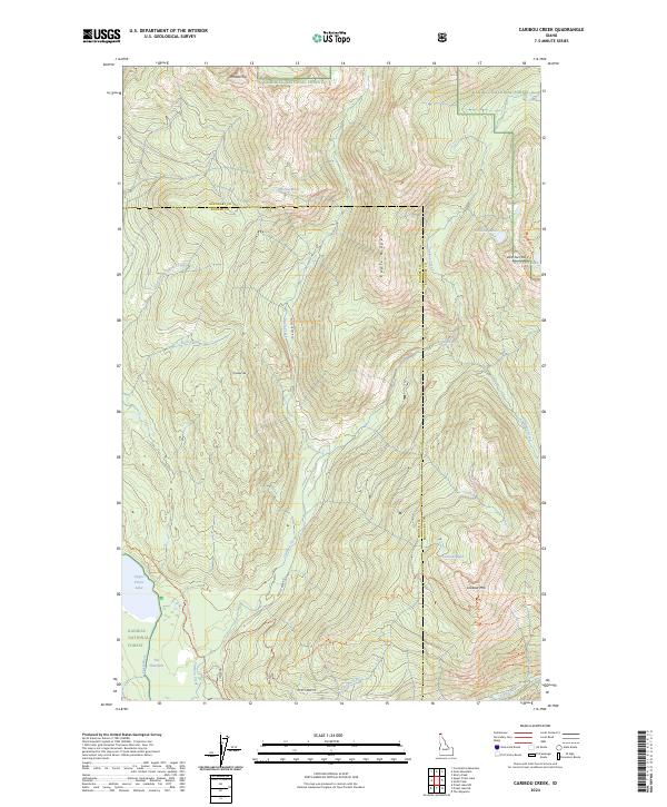
2024 Map of Caribou Creek
USGS Topo · Published 2024About this map
Kaniksu National Forest defines this portion of the Selkirk Mountains where the Boundary and Bonner county line divides a landscape dominated by alpine basins and drainage networks. The hydrological system is anchored by Upper Priest Lake in the southwest, connected to the Priest River via The Thorofare. High-elevation water bodies such as Mollies Lake, Caribou Lakes, and Lookout Lake are tucked between prominent peaks like Phoebe Tip and Lookout Mtn. The presence of Caribou Falls and several named creeks including Abandon Creek and Lion Creek highlights the complex watershed. Human access is primarily represented by backcountry routes like the Pacific Northwest National Scenic Trl and the West Fork Mountain Trl, which navigate the steep divide of Bugle Ridge.
Find a feature on this map
34 named features on this map. Tap any name to fly to it.
Don’t see what you’re looking for? This feature index may not catch every label — zoom into the map to look around manually.
Map Details
Editions of this 2024 Caribou Creek Map
This is the sole edition of this map. No revisions or reprints were ever made.
Other maps of this area

1911 · Priest Lake
USGS Topo · 1:250,000

1913 · Priest Lake
USGS Topo · 1:250,000

1958 · Sandpoint
USGS Topo · 1:250,000

1963 · Sandpoint
USGS Topo · 1:250,000

1967 · Priest Lake NE
USGS Topo · 1:24,000

1967 · Priest Lake NW
USGS Topo · 1:24,000

1967 · The Wigwams
USGS Topo · 1:24,000
1968 · Continental Mtn
USGS Topo · 1:24,000

1969 · Grass Mountain
USGS Topo · 1:24,000
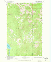
1969 · Caribou Creek
USGS Topo · 1:24,000