
1969 Map of Grass Mountain
USGS Topo · Published 1971About this map
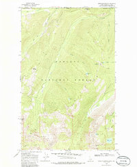
The international border between the United States and Canada defines the northern edge of this high-country landscape in Idaho's Panhandle. Steep slopes and high ridges within the Kaniksu National Forest are punctuated by several alpine water bodies, including Saddle Lake, Search Lake, and the remote Hidden Lake tucked beneath the heights of Joe Peak. Resource extraction in these isolated mountains is evidenced by the presence of the Packer Mine, located near the headwaters of Spring Creek. The terrain is dominated by significant summits such as Grass Mountain and Trapper Peak, with the drainage network including Bog Creek and Blue Joe Creek carving through the valleys. A network of labeled trails and a jeep trail provide the only documented access through this portion of Boundary County, reflecting the area's undeveloped character in the late 1960s.
Find a feature on this map
27 named features on this map. Tap any name to fly to it.
Don’t see what you’re looking for? This feature index may not catch every label — zoom into the map to look around manually.
Map Details
Editions of this 1969 Grass Mountain Map
2 editions found
Other maps of this area

1911 · Priest Lake
USGS Topo · 1:250,000

1913 · Priest Lake
USGS Topo · 1:250,000

1958 · Sandpoint
USGS Topo · 1:250,000

1963 · Sandpoint
USGS Topo · 1:250,000
1968 · Continental Mtn
USGS Topo · 1:24,000
1969 · Caribou Creek
USGS Topo · 1:24,000
1969 · Upper Priest Lake
USGS Topo · 1:24,000
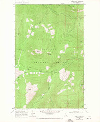
1969 · Shorty Peak
USGS Topo · 1:24,000
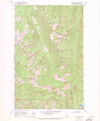
1969 · Smith Peak
USGS Topo · 1:24,000
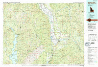
1983 · Bonners Ferry
USGS Topo · 1:100,000