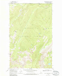
1969 Map of Grass Mountain
USGS Topo · Published 1986About this map
The high timber and drainage networks of the Kaniksu National Forest define this landscape along the international boundary between Idaho and British Columbia. Surveyed in the late 1960s, the map details a remote topography where mining interests like the Continental Mine and Packer Mine sit amidst a web of specialized transportation routes. While few improved roads exist, a network of Pack Trails, Jeep Trails, and the Saddle Creek Trail provide the primary access to the high basins.
Find a feature on this map
30 named features on this map. Tap any name to fly to it.
Don’t see what you’re looking for? This feature index may not catch every label — zoom into the map to look around manually.
Map Details
Editions of this 1969 Grass Mountain Map
2 editions found
Other maps of this area

1911 · Priest Lake
USGS Topo · 1:250,000

1913 · Priest Lake
USGS Topo · 1:250,000

1958 · Sandpoint
USGS Topo · 1:250,000

1963 · Sandpoint
USGS Topo · 1:250,000
1968 · Continental Mtn
USGS Topo · 1:24,000

1969 · Grass Mountain
USGS Topo · 1:24,000
1969 · Caribou Creek
USGS Topo · 1:24,000
1969 · Upper Priest Lake
USGS Topo · 1:24,000
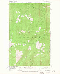
1969 · Shorty Peak
USGS Topo · 1:24,000
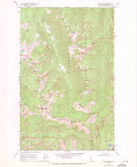
1969 · Smith Peak
USGS Topo · 1:24,000