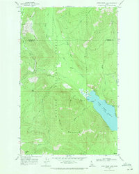
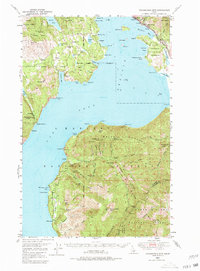
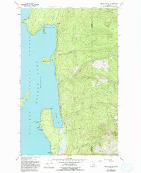
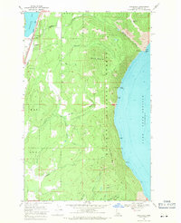
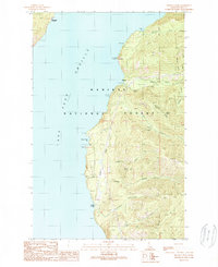
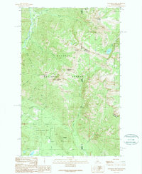
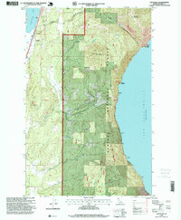
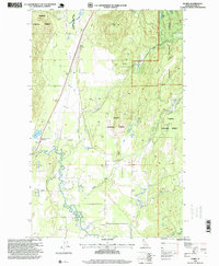
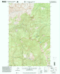
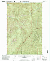
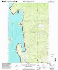
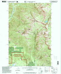
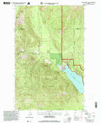
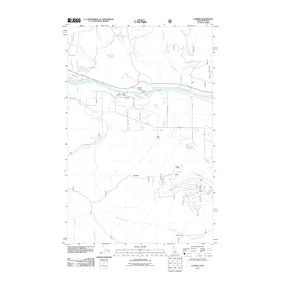
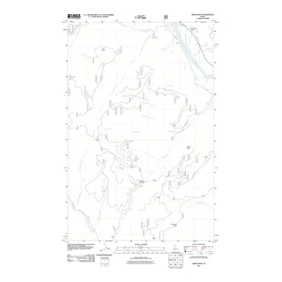
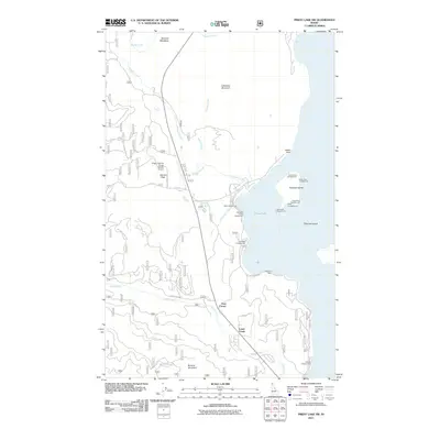
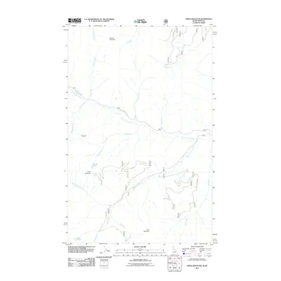
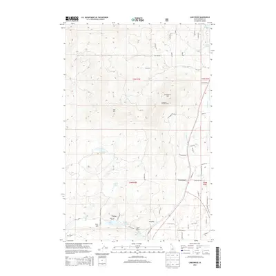
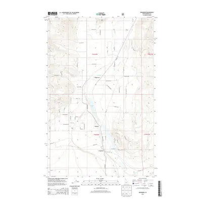
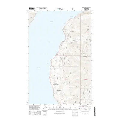
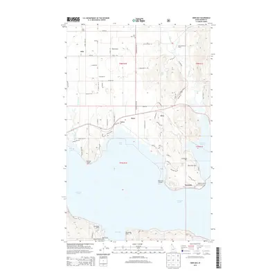
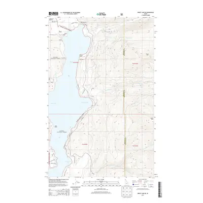
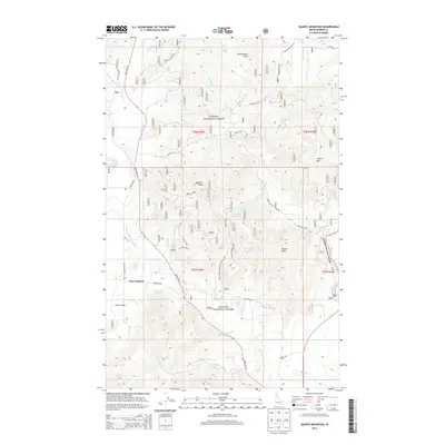
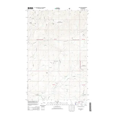
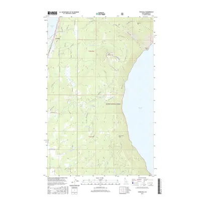
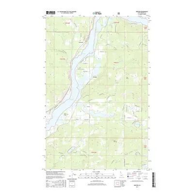
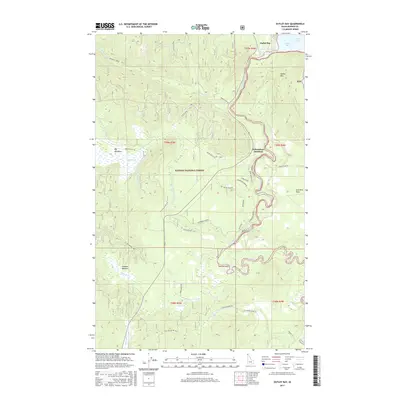
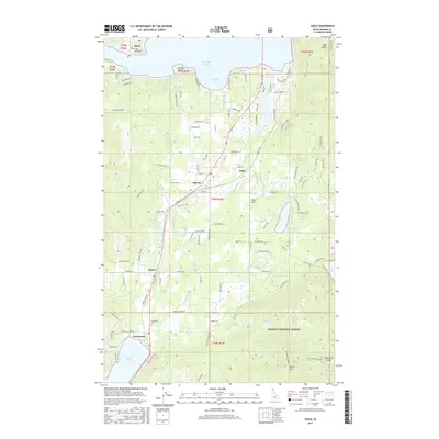
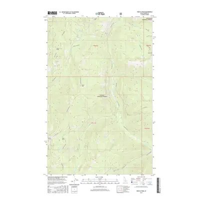
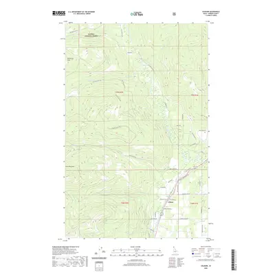
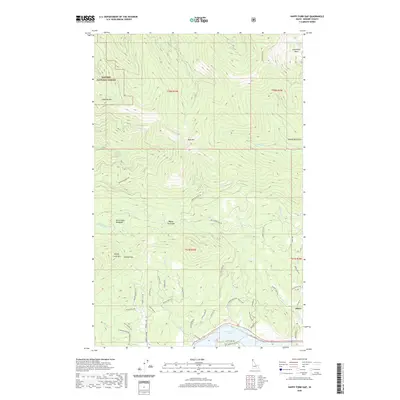
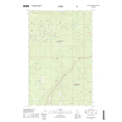
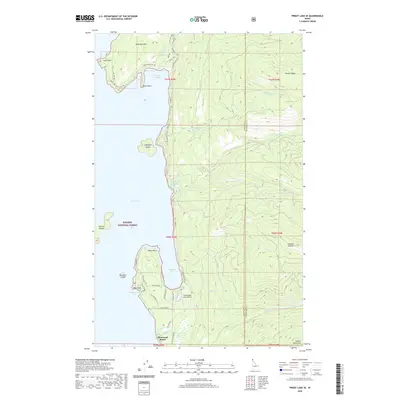
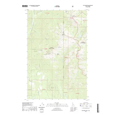
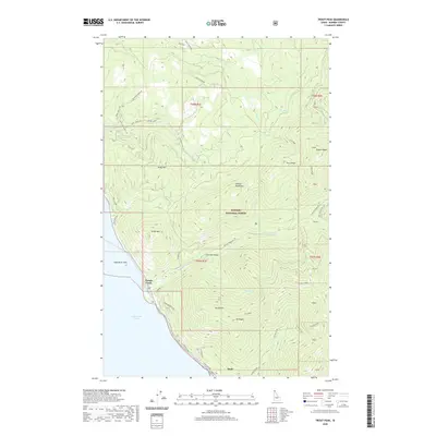
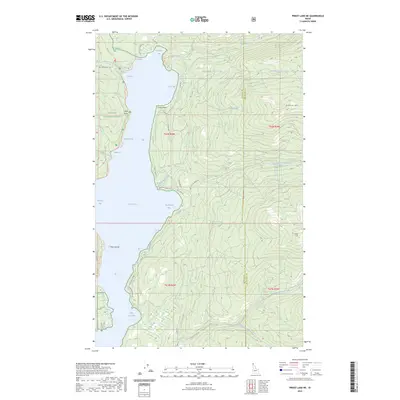
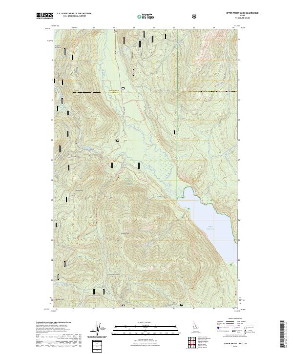
1969 Map of Upper Priest Lake
USGS Topo · Published 1971About this map
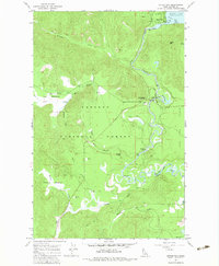
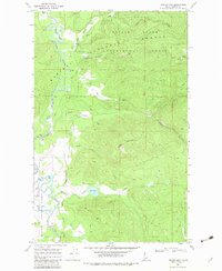
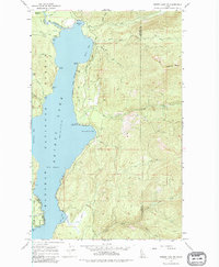
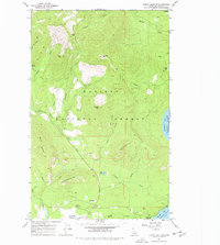
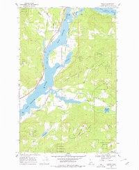
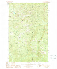
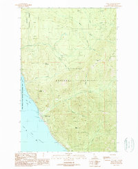
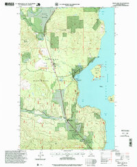
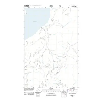
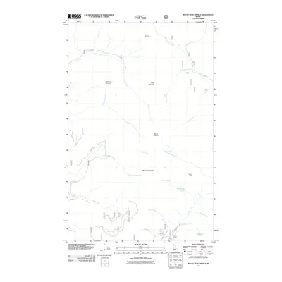
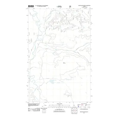
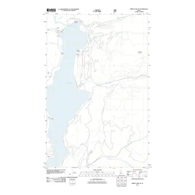
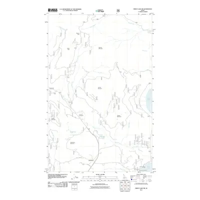
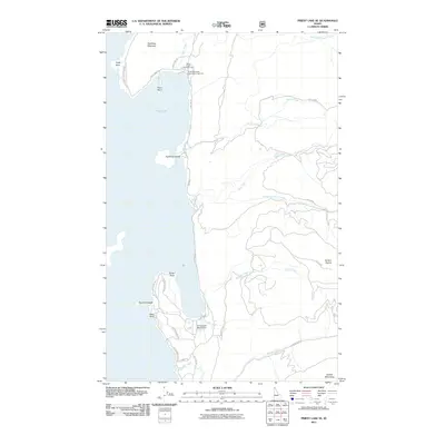
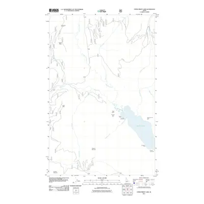
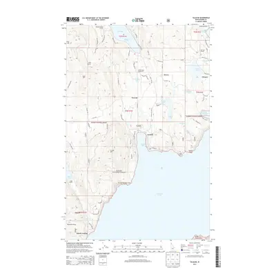
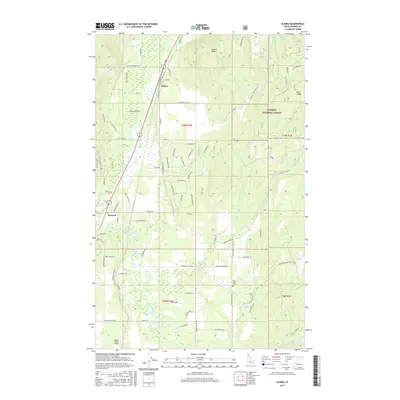
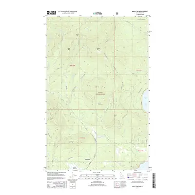
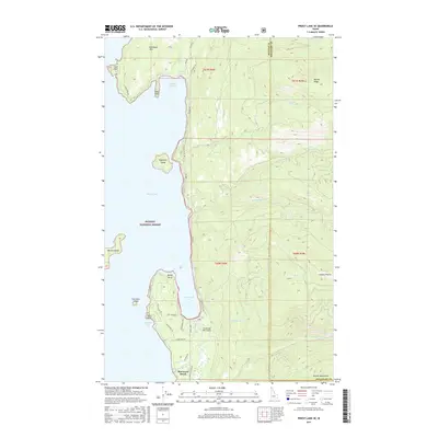
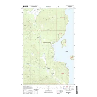
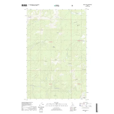
Upper Priest Lake dominates this 1969 topographic study of the northern Idaho panhandle, where the Upper Priest River flows through the heart of the Kaniksu National Forest. The map documents a rugged landscape defined by the Hughes Ridge and Kaniksu Mountain, while highlighting the early extractive and recreational history of the region. Prospectors and mining historians will find interest in the proximity of Plowboy Mine and the Mountain Chief Mine near the western shoreline, alongside the Navigation Mine. This era shows a forest service infrastructure still reliant on strategic high points like the Lookout Tower and the Hughes Meadows Fire Station. A network of primitive transit is preserved through numerous pack trails and a jeep trail, connecting remote landmarks like Hughes Meadows to lakeside facilities including Navigation Campground and Plowboy Campground.
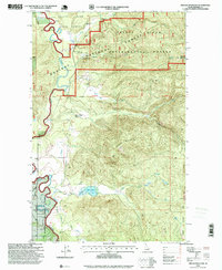
Find a feature on this map
28 named features on this map. Tap any name to fly to it.
Don’t see what you’re looking for? This feature index may not catch every label — zoom into the map to look around manually.
Map Details
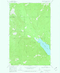
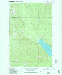
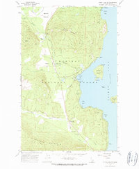
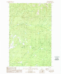
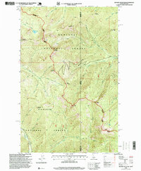
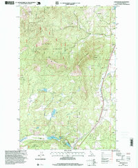
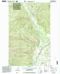
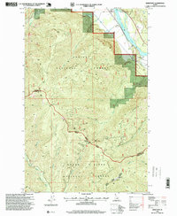
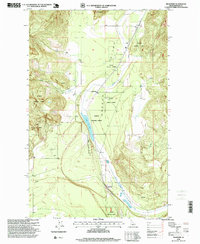
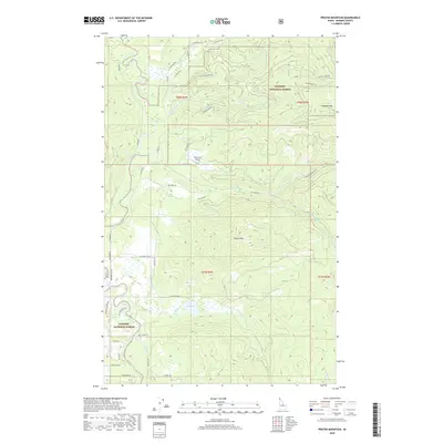
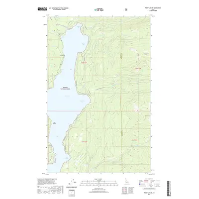
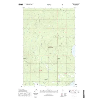
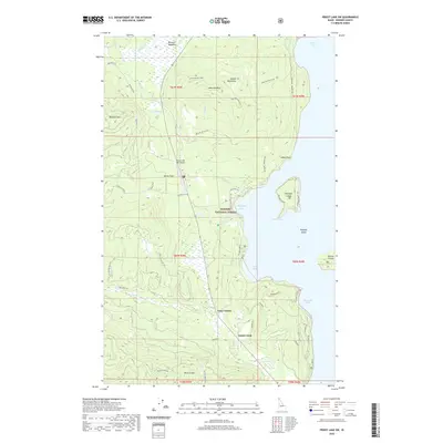
Editions of this 1969 Upper Priest Lake Map
4 editions found
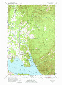
Historical Maps of Bonner County Through Time
223 maps found

1911 Priest Lake
Bonner County, ID
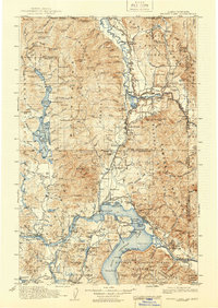
1913 Priest Lake
Bonner County, ID
1949 Packsaddle Mtn
Bonner County, ID
1951 Elmira
Bonner County, ID
1951 Mt Pend Oreille
Bonner County, ID

1951 Packsaddle Mtn
Bonner County, ID
1961 Lakeview
Bonner County, ID
1967 Outlet Bay
Bonner County, ID
1967 Prater Mtn
Bonner County, ID
1967 Priest Lake NE
Bonner County, ID
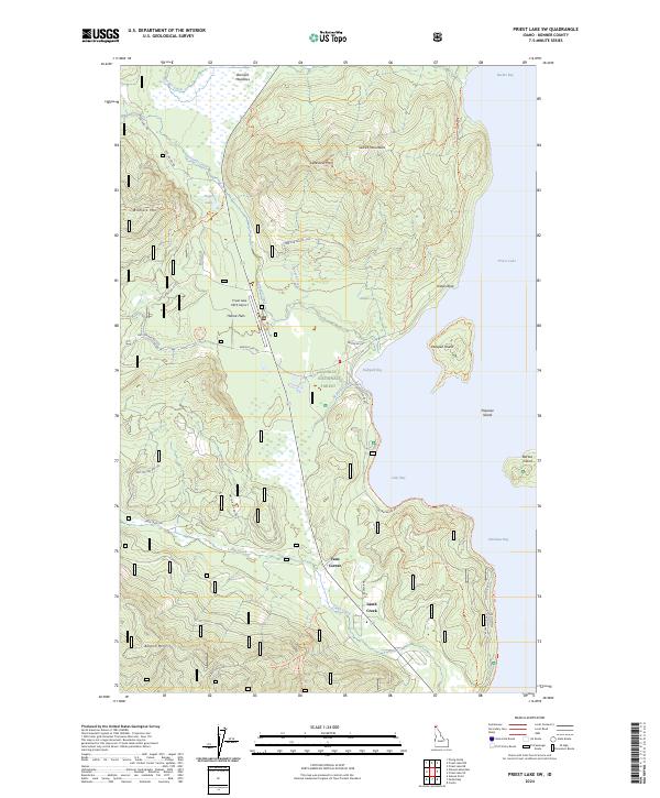
1967 Priest Lake NW
Bonner County, ID
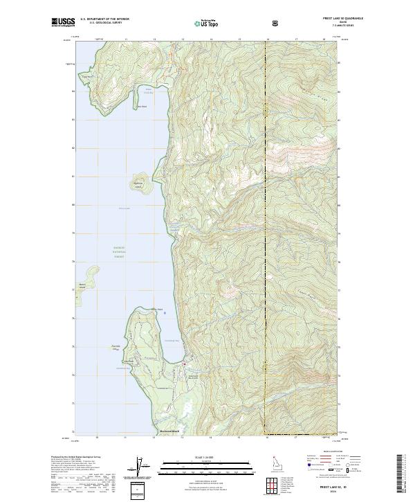
1967 Priest Lake SE
Bonner County, ID
1967 Priest Lake SW
Bonner County, ID
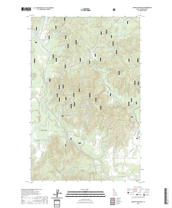
1967 Quartz Mtn
Bonner County, ID
1968 Careywood
Bonner County, ID
1968 Cocolalla
Bonner County, ID
1968 Colburn
Bonner County, ID
1968 Edgemere
Bonner County, ID
1968 Happy Fork Gap
Bonner County, ID
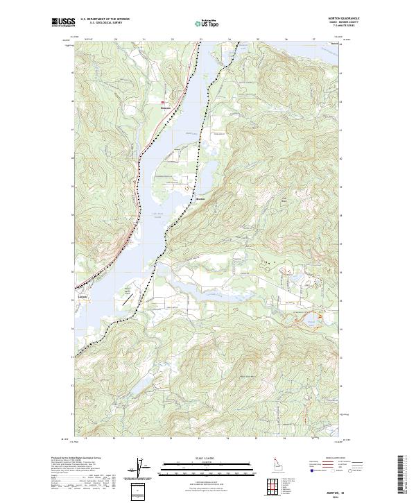
1968 Morton
Bonner County, ID
1968 Mount Casey
Bonner County, ID
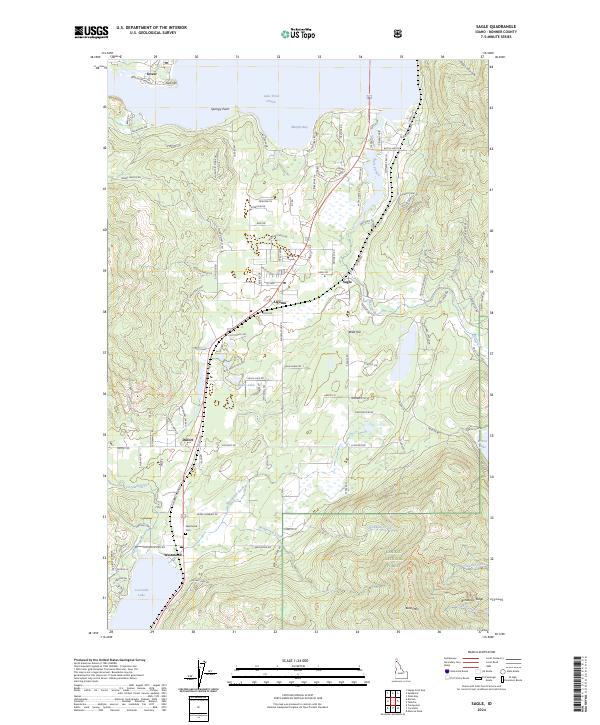
1968 Sagle
Bonner County, ID
1969 Upper Priest Lake
Bonner County, ID
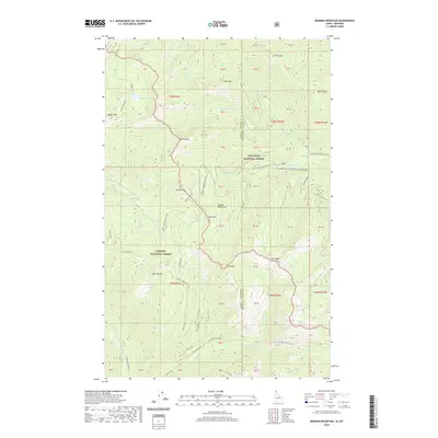
1989 Benning Mountain
Bonner County, ID
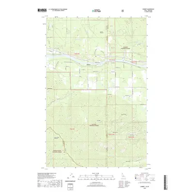
1989 Cabinet
Bonner County, ID
1989 Derr Point
Bonner County, ID
1989 Elmira
Bonner County, ID
1989 Minerva Peak
Bonner County, ID
1989 Mount Pend Oreille
Bonner County, ID
1989 Oden Bay
Bonner County, ID
1989 Packsaddle Mountain
Bonner County, ID
1989 Scotchman Peak
Bonner County, ID
1989 Smith Mountain
Bonner County, ID
1989 Talache
Bonner County, ID
1989 Trestle Peak
Bonner County, ID
1989 Trout Peak
Bonner County, ID
1989 Wylie Knob
Bonner County, ID
1996 Benning Mountain
Bonner County, ID
1996 Careywood
Bonner County, ID
1996 Cocolalla
Bonner County, ID
1996 Colburn
Bonner County, ID
1996 Derr Point
Bonner County, ID
1996 Edgemere
Bonner County, ID
1996 Elmira
Bonner County, ID
1996 Lakeview
Bonner County, ID
1996 Minerva Peak
Bonner County, ID
1996 Morton
Bonner County, ID
1996 Mount Casey
Bonner County, ID
1996 Mount Pend Oreille
Bonner County, ID
1996 Oden Bay
Bonner County, ID
1996 Outlet Bay
Bonner County, ID
1996 Packsaddle Mountain
Bonner County, ID
1996 Prater Mountain
Bonner County, ID
1996 Priest Lake NE
Bonner County, ID
1996 Priest Lake NW
Bonner County, ID
1996 Priest Lake SE
Bonner County, ID
1996 Priest Lake SW
Bonner County, ID
1996 Quartz Mountain
Bonner County, ID
1996 Sagle
Bonner County, ID
1996 Scotchman Peak
Bonner County, ID
1996 Talache
Bonner County, ID
1996 Trestle Peak
Bonner County, ID
1996 Trout Peak
Bonner County, ID
1996 Upper Priest Lake
Bonner County, ID
1996 Wylie Knob
Bonner County, ID
1997 Smith Mountain
Bonner County, ID
2011 Benning Mountain
Bonner County, ID
2011 Cabinet
Bonner County, ID
2011 Careywood
Bonner County, ID
2011 Cocolalla
Bonner County, ID
2011 Colburn
Bonner County, ID
2011 Derr Point
Bonner County, ID
2011 Edgemere
Bonner County, ID
2011 Elmira
Bonner County, ID
2011 Happy Fork Gap
Bonner County, ID
2011 Lakeview
Bonner County, ID
2011 Minerva Peak
Bonner County, ID
2011 Morton
Bonner County, ID
2011 Mount Casey
Bonner County, ID
2011 Mount Pend Oreille
Bonner County, ID
2011 Oden Bay
Bonner County, ID
2011 Outlet Bay
Bonner County, ID
2011 Packsaddle Mountain
Bonner County, ID
2011 Prater Mountain
Bonner County, ID
2011 Priest Lake NE
Bonner County, ID
2011 Priest Lake NW
Bonner County, ID
2011 Priest Lake SE
Bonner County, ID
2011 Priest Lake SW
Bonner County, ID
2011 Quartz Mountain
Bonner County, ID
2011 Sagle
Bonner County, ID
2011 Scotchman Peak
Bonner County, ID
2011 Smith Mountain
Bonner County, ID
2011 Talache
Bonner County, ID
2011 Trestle Peak
Bonner County, ID
2011 Trout Peak
Bonner County, ID
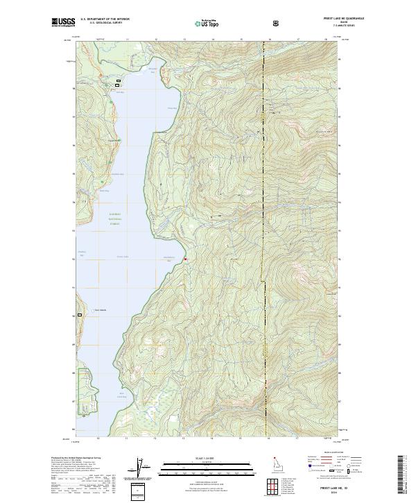
2011 Upper Priest Lake
Bonner County, ID
2011 Wylie Knob
Bonner County, ID
2013 Benning Mountain
Bonner County, ID
2013 Cabinet
Bonner County, ID
2013 Careywood
Bonner County, ID
2013 Cocolalla
Bonner County, ID
2013 Colburn
Bonner County, ID
2013 Derr Point
Bonner County, ID
2013 Edgemere
Bonner County, ID
2013 Elmira
Bonner County, ID
2013 Happy Fork Gap
Bonner County, ID
2013 Lakeview
Bonner County, ID
2013 Minerva Peak
Bonner County, ID
2013 Morton
Bonner County, ID
2013 Mount Casey
Bonner County, ID
2013 Mount Pend Oreille
Bonner County, ID
2013 Oden Bay
Bonner County, ID
2013 Outlet Bay
Bonner County, ID
2013 Packsaddle Mountain
Bonner County, ID
2013 Prater Mountain
Bonner County, ID
2013 Priest Lake NE
Bonner County, ID
2013 Priest Lake NW
Bonner County, ID
2013 Priest Lake SE
Bonner County, ID
2013 Priest Lake SW
Bonner County, ID
2013 Quartz Mountain
Bonner County, ID
2013 Sagle
Bonner County, ID
2013 Scotchman Peak
Bonner County, ID
2013 Smith Mountain
Bonner County, ID
2013 Talache
Bonner County, ID
2013 Trestle Peak
Bonner County, ID
2013 Trout Peak
Bonner County, ID
2013 Upper Priest Lake
Bonner County, ID
2013 Wylie Knob
Bonner County, ID
2017 Benning Mountain
Bonner County, ID
2017 Cabinet
Bonner County, ID
2017 Careywood
Bonner County, ID
2017 Cocolalla
Bonner County, ID
2017 Colburn
Bonner County, ID
2017 Derr Point
Bonner County, ID
2017 Edgemere
Bonner County, ID
2017 Elmira
Bonner County, ID
2017 Happy Fork Gap
Bonner County, ID
2017 Lakeview
Bonner County, ID
2017 Minerva Peak
Bonner County, ID
2017 Morton
Bonner County, ID
2017 Mount Casey
Bonner County, ID
2017 Mount Pend Oreille
Bonner County, ID
2017 Oden Bay
Bonner County, ID
2017 Outlet Bay
Bonner County, ID
2017 Packsaddle Mountain
Bonner County, ID
2017 Prater Mountain
Bonner County, ID
2017 Priest Lake NE
Bonner County, ID
2017 Priest Lake NW
Bonner County, ID
2017 Priest Lake SE
Bonner County, ID
2017 Priest Lake SW
Bonner County, ID
2017 Quartz Mountain
Bonner County, ID
2017 Sagle
Bonner County, ID
2017 Scotchman Peak
Bonner County, ID
2017 Smith Mountain
Bonner County, ID
2017 Talache
Bonner County, ID
2017 Trestle Peak
Bonner County, ID
2017 Trout Peak
Bonner County, ID
2017 Upper Priest Lake
Bonner County, ID
2017 Wylie Knob
Bonner County, ID
2020 Benning Mountain
Bonner County, ID
2020 Cabinet
Bonner County, ID
2020 Careywood
Bonner County, ID
2020 Cocolalla
Bonner County, ID
2020 Colburn
Bonner County, ID
2020 Derr Point
Bonner County, ID
2020 Edgemere
Bonner County, ID
2020 Elmira
Bonner County, ID
2020 Happy Fork Gap
Bonner County, ID
2020 Lakeview
Bonner County, ID
2020 Minerva Peak
Bonner County, ID
2020 Morton
Bonner County, ID
2020 Mount Casey
Bonner County, ID
2020 Mount Pend Oreille
Bonner County, ID
2020 Oden Bay
Bonner County, ID
2020 Outlet Bay
Bonner County, ID
2020 Packsaddle Mountain
Bonner County, ID
2020 Prater Mountain
Bonner County, ID
2020 Priest Lake NE
Bonner County, ID
2020 Priest Lake NW
Bonner County, ID
2020 Priest Lake SE
Bonner County, ID
2020 Priest Lake SW
Bonner County, ID
2020 Quartz Mountain
Bonner County, ID
2020 Sagle
Bonner County, ID
2020 Scotchman Peak
Bonner County, ID
2020 Smith Mountain
Bonner County, ID
2020 Talache
Bonner County, ID
2020 Trestle Peak
Bonner County, ID
2020 Trout Peak
Bonner County, ID
2020 Upper Priest Lake
Bonner County, ID
2020 Wylie Knob
Bonner County, ID
2023 Outlet Bay
Bonner County, ID
2023 Priest Lake NE
Bonner County, ID
2024 Benning Mountain
Bonner County, ID
2024 Cabinet
Bonner County, ID
2024 Careywood
Bonner County, ID
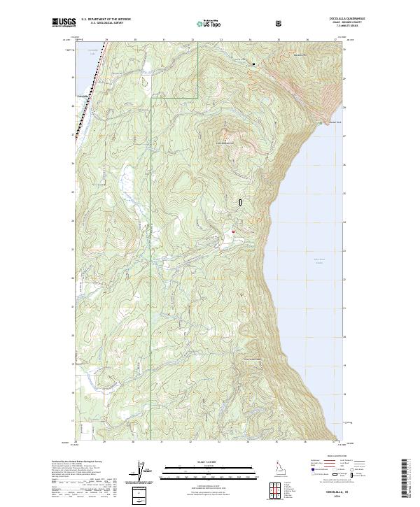
2024 Cocolalla
Bonner County, ID
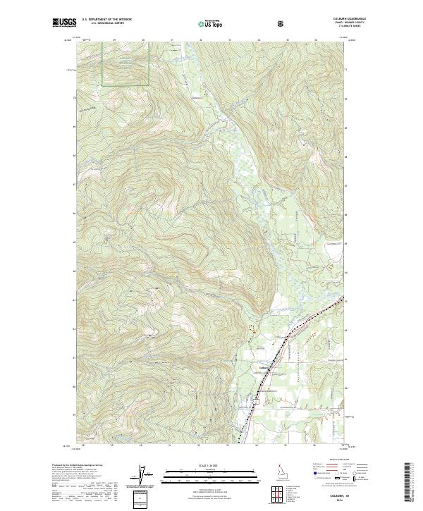
2024 Colburn
Bonner County, ID
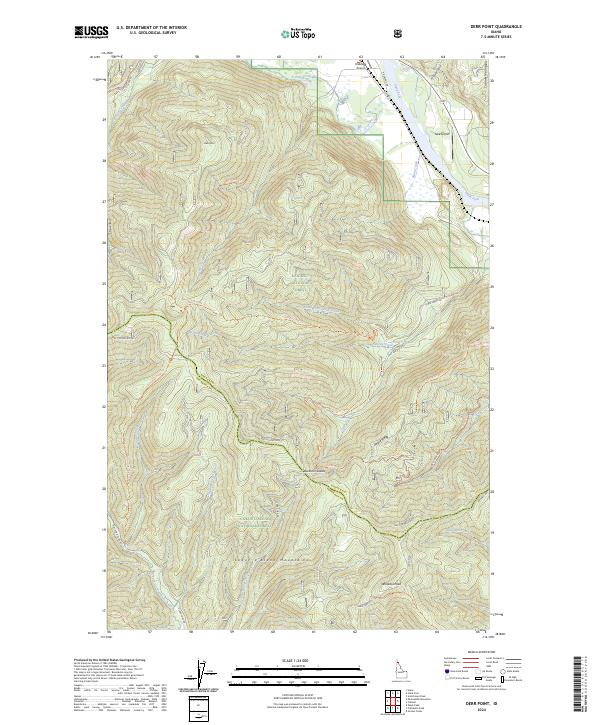
2024 Derr Point
Bonner County, ID
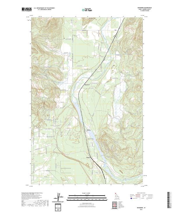
2024 Edgemere
Bonner County, ID
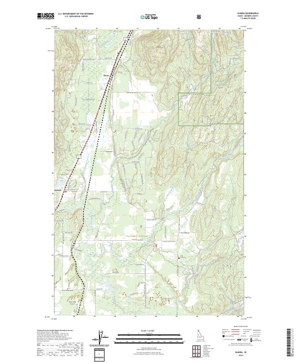
2024 Elmira
Bonner County, ID
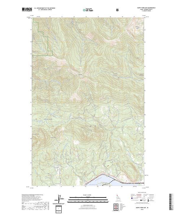
2024 Happy Fork Gap
Bonner County, ID
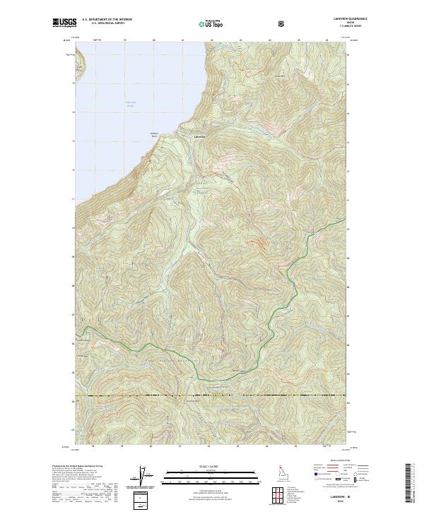
2024 Lakeview
Bonner County, ID
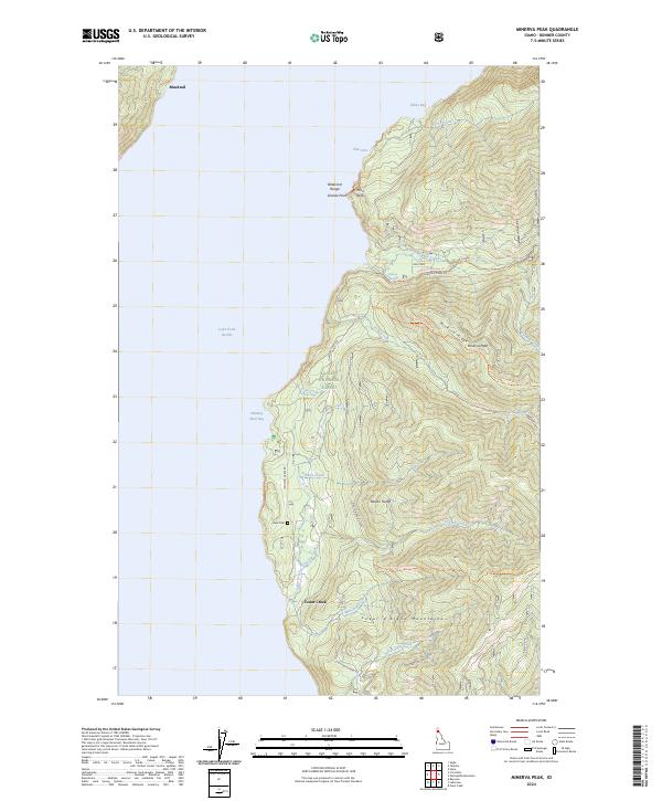
2024 Minerva Peak
Bonner County, ID
2024 Morton
Bonner County, ID
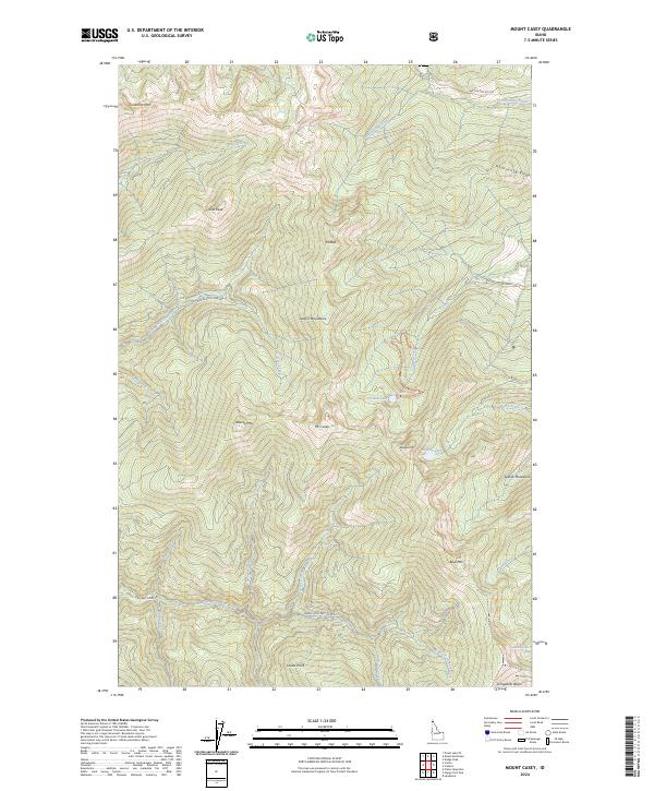
2024 Mount Casey
Bonner County, ID
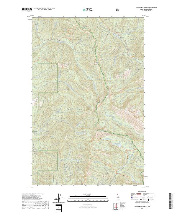
2024 Mount Pend Oreille
Bonner County, ID

2024 Oden Bay
Bonner County, ID
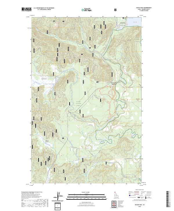
2024 Outlet Bay
Bonner County, ID
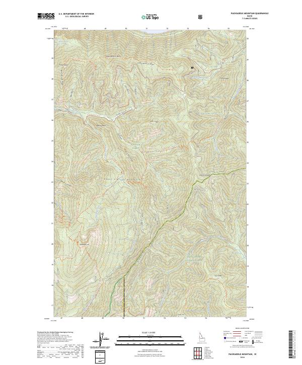
2024 Packsaddle Mountain
Bonner County, ID
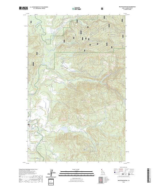
2024 Prater Mountain
Bonner County, ID
2024 Priest Lake NE
Bonner County, ID
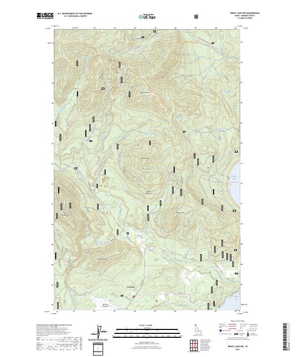
2024 Priest Lake NW
Bonner County, ID
2024 Priest Lake SE
Bonner County, ID
2024 Priest Lake SW
Bonner County, ID
2024 Quartz Mountain
Bonner County, ID
2024 Sagle
Bonner County, ID
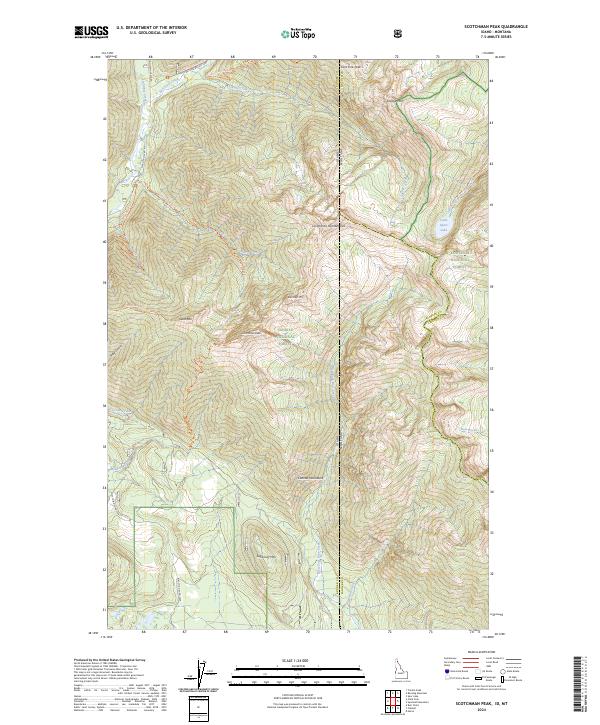
2024 Scotchman Peak
Bonner County, ID
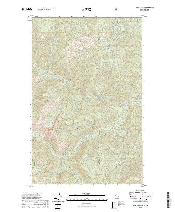
2024 Smith Mountain
Bonner County, ID
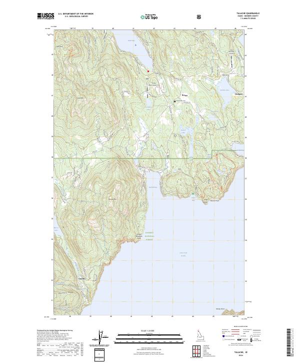
2024 Talache
Bonner County, ID
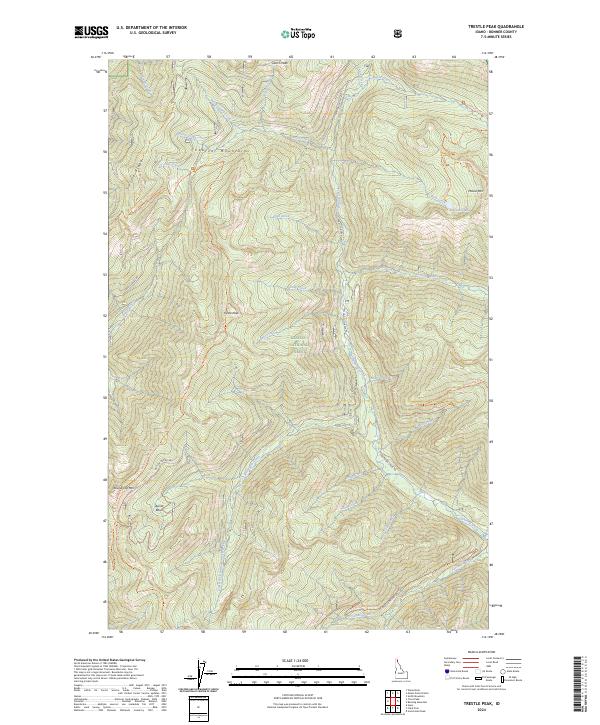
2024 Trestle Peak
Bonner County, ID
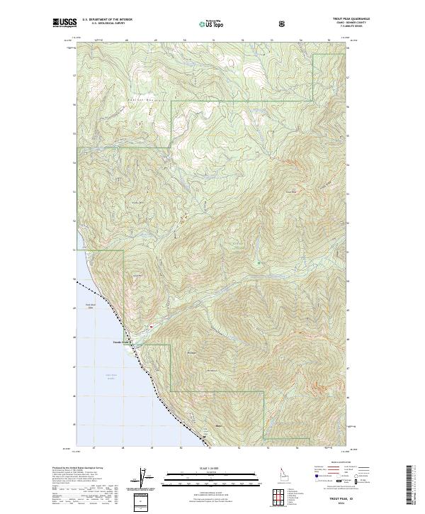
2024 Trout Peak
Bonner County, ID
2024 Upper Priest Lake
Bonner County, ID
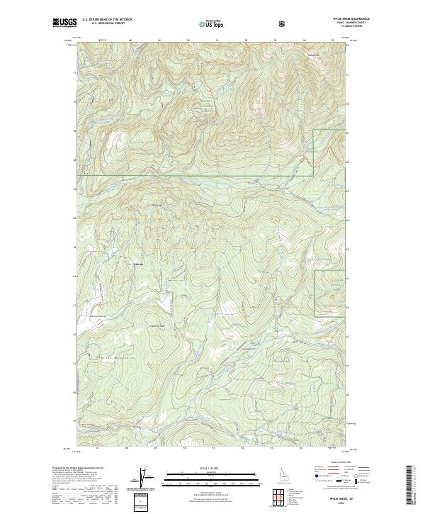
2024 Wylie Knob
Bonner County, ID